

 Italiano
 Deutsch
2026/09/13 20:04:58
Sentiero ca de puler - Cuorgne
Author

Place
Italy - Piemonte, TO
Km
20,94 km
Elapsed time
03:50:39
Vertical meters
+850 mt (304 - 1129)
Route difficulty
Landscapes
Last update
2026/09/14 08:37:18
Comments
Description
The ascent from Cuorgne follows a paved road through Priacco and Borgiallo, reaching Sant Elisabetta after 12 km and an elevation gain of 850 meters. The descent begins after the second hairpin turn; over a little more than 2 km, the elevation drops by 600 meters. There are frequent very steep sections with loose soil, roots, and some rocky stretches. As of September 2026, the trail is also poorly maintained, with some fallen trees. Overall, this is a very challenging trail ride. In Borgiallo, the route returns to paved road.
Starting from Cuorgne
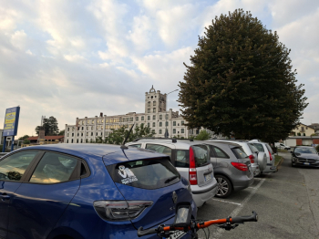
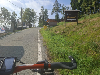
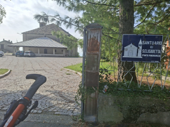
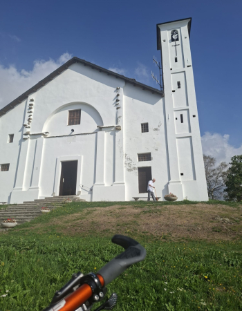
Ca de Puler Trail
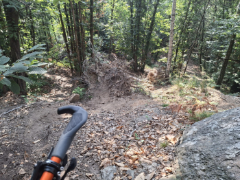
Ca de puler Trail
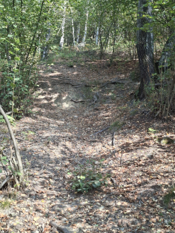
Ca de puler Trail
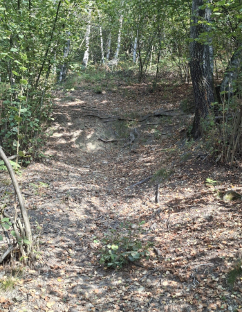
Ca de puler Trail
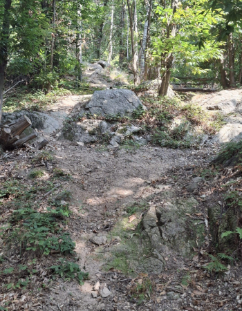
Local weather
Mon 00:00

14 °C
Mon 12:00

16 °C
Tue 00:00
13 °C
Tue 12:00
13 °C
Wed 00:00
15 °C
Wed 12:00
15 °C


Graph
Nearest Routes
21,96 km
Km
+735 mt
Vertical meters
Route difficulty
Landscapes
29,49 km
Km
+1 172 mt
Vertical meters
Route difficulty
Landscapes
2022/11/17
- Italy - Piemonte, TO 21,49 km
Km
+921 mt
Vertical meters
Route difficulty
Landscapes
2026/07/29
- Italy - Piemonte, TO 30,47 km
Km
+1 080 mt
Vertical meters
Route difficulty
Landscapes
23,00 km
Km
+900 mt
Vertical meters
Route difficulty
Landscapes
20,30 km
Km
+1 200 mt
Vertical meters
Route difficulty
Landscapes
19,00 km
Km
+980 mt
Vertical meters
Route difficulty
Landscapes
10,97 km
Km
+500 mt
Vertical meters
Route difficulty
Landscapes
11,55 km
Km
+630 mt
Vertical meters
Route difficulty
Landscapes
7,36 km
Km
+500 mt
Vertical meters
Route difficulty
Landscapes