

 Italiano
 Deutsch
2026/09/06 18:45:54
Fondo - alpe Pasquere - Valchiusella
Author

Place
Italy - Piemonte, TO
Km
10,97 km
Elapsed time
02:09:29
Vertical meters
+500 mt (1069 - 1512)
Route difficulty
Landscapes
Last update
2026/09/06 19:03:46
Comments
Description
A bike trail along the right bank of the Chiusella stream; it is a wide dirt road with steep sections and large ditches. The left bank is suitable for hiking and, possibly, MTB trail riding. From the hamlet of Fondo, the route climbs to the Ribordone stream waterfalls—a popular destination for tourists on Sundays, so it’s best to visit during the week. You’ll reach Talorno and, finally, opposite Alpe Pasquere, cross a small ford to reach the alp. Return via the same route used for the ascent.
Start from Fondo
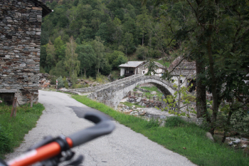
Start of the dirt road; on Sundays, the barrier is lowered and closed
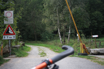
Ribordone River waterfalls, on Wednesdays
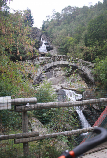
Ribordone River waterfalls, on Sundays
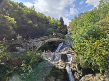
Talorno
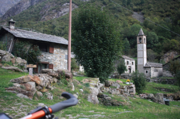
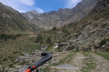
Alpe Pasquere
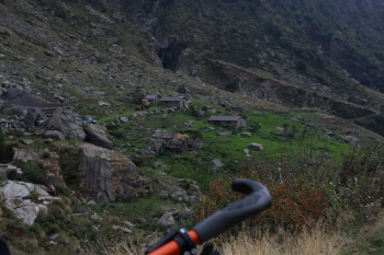
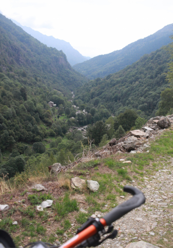
View of the descent
Local weather
Mon 00:00

10 °C
Mon 12:00

11 °C
Tue 00:00
11 °C
Tue 12:00

10 °C
Wed 00:00
10 °C
Wed 12:00

12 °C

Graph
Nearest Routes
11,55 km
Km
+630 mt
Vertical meters
Route difficulty
Landscapes
7,36 km
Km
+500 mt
Vertical meters
Route difficulty
Landscapes

24,52 km
Km
+466 mt
Vertical meters
Route difficulty
Landscapes
18,95 km
Km
+1 050 mt
Vertical meters
Route difficulty
Landscapes
2022/08/06
- Italy - Valle d'Aosta, AO 29,26 km
Km
+1 467 mt
Vertical meters
Route difficulty
Landscapes
30,60 km
Km
+1 265 mt
Vertical meters
Route difficulty
Landscapes
20,94 km
Km
+850 mt
Vertical meters
Route difficulty
Landscapes
21,96 km
Km
+735 mt
Vertical meters
Route difficulty
Landscapes
29,49 km
Km
+1 172 mt
Vertical meters
Route difficulty
Landscapes
2022/11/17
- Italy - Piemonte, TO 21,49 km
Km
+921 mt
Vertical meters
Route difficulty
Landscapes