HOME RANKINGS CHALLENGES ROUTES NEAR ME PLANNING SEARCH LOGIN
Italy - Piemonte, TO
2026/07/29 18:38:59

Valchiusella - Baldissero C.se - Pian delle nere - pistino

0 Downloads
0
 
Share

Key Takeaways / Scheda Tecnica

Disciplina:
Mountain Bike (MTB)
Percorso:
Valchiusella - Baldissero C.se - Pian delle nere - pistino
Località:
Italy - Piemonte, TO
Distanza:
30,47 km
Dislivello Positivo:
+1 080 mt (Quota Min: 268m - Max: 1226m)
Difficoltà Tecnica:
2/5
Valutazione Panorami:
2/5
Formato Traccia:
GPX Download disponibile
Author
gmzolenart
(137)
Place
Italy - Piemonte, TO
Km
30,47 km
Elapsed time
05:08:03
Vertical meters
+1 080 mt (268 - 1226)
Route difficulty
Landscapes
Last update
2026/07/29 22:25:12
Comments
0
Description

We start from Baldissero C.se, just like on Trail 2vp, but we stay further west, heading up to San Rocco, Villa Castelnuovo, Castelnuovo Nigra, Caretto—here, avoid detours and shortcuts—the Chapel of the Visitation, and Pian delle Nere, for a total of 17 km and about 1,000 meters of elevation gain.

Descent: backtrack for about 700 meters, then to the pass via a beautiful narrow traverse; follow the “Path of Legends” for about 3 km, alternating between wider and narrower sections, always on a well-trodden trail with small obstacles; a paved section through Palasot with road crossings; Bric Cavaria with sections that sound impressive but are technically manageable—such as the Cagone, Salto del Castagno, Salto della Strada, and Ultimo di Sant’Antonio—followed by another road intersection; continue toward Sant’Antonio, Rocce Bianche, and the Monti Pelati section (for the full version, see 15 – Baldissero C.se – Trail 2VP – Training Camp). Final return on asphalt.

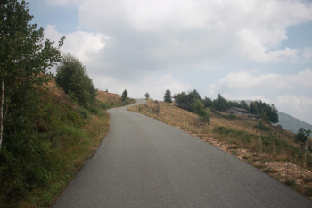
Ascent section
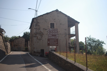
Foto itinerario MTB Valchiusella - Baldissero C.se - Pian delle nere - pistino - Italy - Piemonte, TO

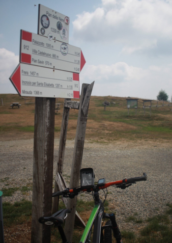
Final section to Pian delle Nere

Foto itinerario MTB Valchiusella - Baldissero C.se - Pian delle nere - pistino - Italy - Piemonte, TO


Foto itinerario MTB Valchiusella - Baldissero C.se - Pian delle nere - pistino - Italy - Piemonte, TO

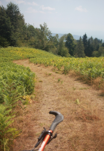
Start of the descent toward the pass
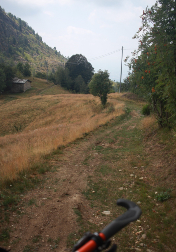
Foto itinerario MTB Valchiusella - Baldissero C.se - Pian delle nere - pistino - Italy - Piemonte, TO

Plenty of vegetation on both the ascent and descent, but absolutely manageable
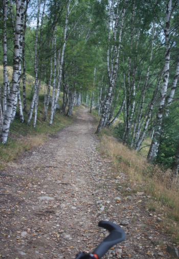
Foto itinerario MTB Valchiusella - Baldissero C.se - Pian delle nere - pistino - Italy - Piemonte, TO


Foto itinerario MTB Valchiusella - Baldissero C.se - Pian delle nere - pistino - Italy - Piemonte, TO

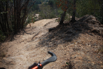
Steep section with an easier alternative on the right
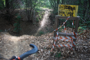
Foto itinerario MTB Valchiusella - Baldissero C.se - Pian delle nere - pistino - Italy - Piemonte, TO

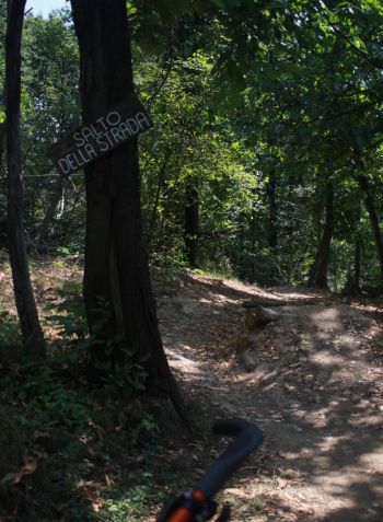
Sections with a choice: jump or not

Foto itinerario MTB Valchiusella - Baldissero C.se - Pian delle nere - pistino - Italy - Piemonte, TO

Fallen trees, but the trail is never blocked
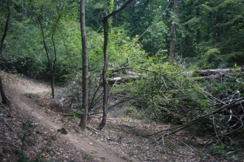
Foto itinerario MTB Valchiusella - Baldissero C.se - Pian delle nere - pistino - Italy - Piemonte, TO

White Rocks

Foto itinerario MTB Valchiusella - Baldissero C.se - Pian delle nere - pistino - Italy - Piemonte, TO


Download our free mobile app to send this route to your Garmin device or to navigate it on OSM maps. Android - iOS
Local weather
Mon 00:00
14 °C
Mon 12:00
16 °C
Tue 00:00
12 °C
Tue 12:00
13 °C
Wed 00:00
14 °C
Wed 12:00
15 °C
Thu 00:00
11 °C
Thu 12:00
14 °C
Fri 00:00
9 °C
Fri 12:00
13 °C

Graph

Nearest Routes

2022/09/22
- Italy - Piemonte, TO
gmzolenart
(137)
23,00 km
Km
+900 mt
Vertical meters
Route difficulty
Landscapes
2026/06/20
- Italy - Piemonte, TO
gmzolenart
(137)
7,36 km
Km
+500 mt
Vertical meters
Route difficulty
Landscapes
2026/09/13
- Italy - Piemonte, TO
gmzolenart
(137)
20,94 km
Km
+850 mt
Vertical meters
Route difficulty
Landscapes
2022/11/18
- Italy - Piemonte, TO
gmzolenart
(137)
21,96 km
Km
+735 mt
Vertical meters
Route difficulty
Landscapes
2022/11/20
- Italy - Piemonte, TO
gmzolenart
(137)
29,49 km
Km
+1 172 mt
Vertical meters
Route difficulty
Landscapes
21,49 km
Km
+921 mt
Vertical meters
Route difficulty
Landscapes
2026/07/01
- Italy - Piemonte, TO
gmzolenart
(137)
11,55 km
Km
+630 mt
Vertical meters
Route difficulty
Landscapes
2026/09/06
- Italy - Piemonte, TO
gmzolenart
(137)
10,97 km
Km
+500 mt
Vertical meters
Route difficulty
Landscapes
2025/11/02
- Italy - Piemonte, TO
gmzolenart
(137)
20,30 km
Km
+1 200 mt
Vertical meters
Route difficulty
Landscapes
2023/03/08
- Italy - Piemonte, TO
gmzolenart
(137)
15,66 km
Km
+157 mt
Vertical meters
Route difficulty
Landscapes

0 Comments