Cima Bleis di Somalbosco
It can be considered a cyclo-mountaineering variant to Bocchetta di Val Massa or an addition, it is certainly quite challenging both for having to carry the bike on your back for a long time and for the steep and at times exposed descent from the summit (or nearly so), in short, a fair and complete cyclo-disagio. Recommended only for lovers of the genre.
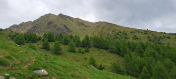
Departure from the large parking lot of the Temù lifts, elevation about 1110. Crossing the state road we go up the village and along the "Via Carolingia" we arrive in Vione. We continue to Canè, crossing the street of the historic center, continue beyond, entering the Stelvio National Park, go up the wonderful Val Canè to the locality Cortebona, altitude 1786. On the right we follow the signs for malga Coleazzo, Bocchetta di Val Massa. Following the path uphill we enter a fairy-tale larch forest. After finishing the forest we come out over a grassy plateau, a splendid panoramic balcony overlooking the Adamello Presanella group.
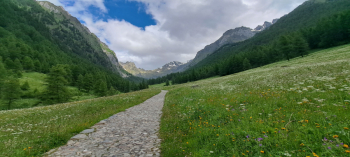
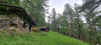
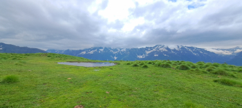
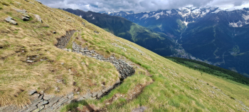
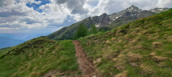
Past Malga Coleazzo we next pass by the ruins of the ancient huts of the same name and continue, climbing up the path a little, to reach the junction for Bocchetta di Val Massa and Malga Prisigai. To climb directly to the summit we turn right and descend a short distance to a fairly obvious but unmarked junction at an elevation of about 2310 meters. Here we begin the ascent to the summit, along an initially grassy path. When we reach a fork at a cross placed over a rock we turn left, continuing to climb. A few meters above, at a Great War trench, the trail disappears. To find the trail again we keep to the left. Care must now be taken because what remains of the trail is a barely visible trace zigzagging up a very steep slope. At elevation 2520, near a last trench, the trail becomes decent again. The last few meters before the summit cross are very exposed and the trail is really narrow; be careful.
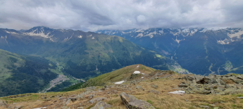
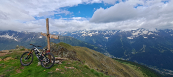
After admiring the majestic view, of the nearby Coleazzo peak, the peaks of Gavia, Montozzo, the Presanella group, Adamello and the more distant Orobie of the Aprica area, we prepare for the descent. The first meters strictly on foot, too dangerous, Then by bike on fun trail (WARNING, you must not fall) to the first trench. In order to continue by bike (along the uphill trail would be impossible except in places) we continue a few meters down the trench, reaching the wide, steep grassy slope. I descended to the right on loose terrain in a slalom-like fashion, looking for the best terrain until near the cross on the rock (WARNING, I did this in late June with green grass and good grip, trying not to pick up speed, with dry grass I don't know how it could be). At the fork under the cross we turn left and at the next fork we turn right. We follow the nice half-hike trail to a further fork with a stake, where we turn right to reach malga Prisigai, 2150 meters.
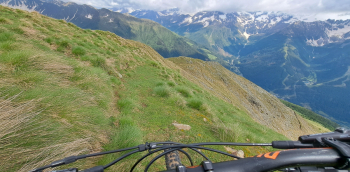
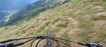
Now the itinerary reconnects with that of Bocchetta di Val Massa, which passing by Baita Somalbosco descends to Sant'Apollonia. From here passing through Pezzo we descend with a last path to the first houses of Ponte di Legno. Via the bike path we return to the starting point.


 Italiano
 Deutsch