Italiano
 Deutsch
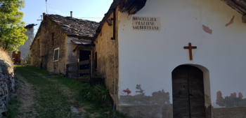
Alta Val Susa - Forte Pramand - SENTIERO 717 e 742

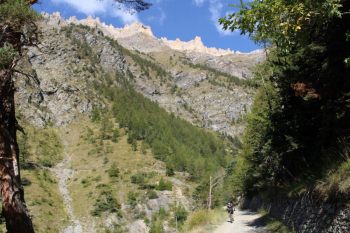
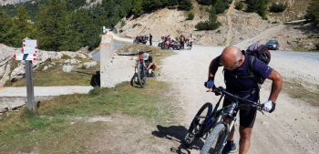
Start at Salbertrand station 1000 m. and in about 2 1/2 km on state road descend down valley to the entrance of the road to Pramand, from which uphill another 2 1/2 km of asphalt before the long dirt road, about 8 km. In the slow, inexorable progression with steady gradient and no technical difficulties, the big-distance-loving member disentangles himself from motorcycles, cars, quads and even a folkloric native with a tarred clio: a wooden platform on the door with the window down allows the trusty chihuahua to herald him with a crisp, incessant barking. In mid-September the motor traffic is heavy, in July and August probably even more so; this is one of the roads to Jafferau. After a total of 13 km from the start, with mild temperature and light dust collected by thermal and electric motorized vehicles (ebikes) we arrive at the collar, another crowd bath: group of bikers and even those who are setting up a table with attached camp kitchen at the side of the road. With difficulty we look away and continue left toward Fort Pramand. Fort 2162 m. was the last to be built in the Bardonecchia basin in 1905 and was well accessible from military road 79. It was the only fort with active cannons during World War I while the armaments of the other forts in the area were moved to the eastern front.
Magnificent views of upper Susa Valley, Chaberton and to the left stands isolated the Pic de Rochebrune on French soil, and to the west over all the Rognosa of Sestriere. Usual panoramic photos without exaggeration-the roof of the fort has no parapet!!!
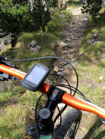
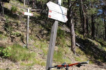
Descent. Descending from the top of the fort without turning right, a small path can be seen that leads to the col. From here trail 717 begins for a trialistic first section, worked and with substantial obstacles, steps and roots, dug-out and narrow bottom. After a cranked scree it becomes BC, S3 and in places MC S1and S2 in the pine forest. Arriving at lower Auberge 1324 m. we opt to descend to Beaume, halfway there is a small stream, the only water source on the entire route. Return to the car via state highway.
Fraternali publisher no.1 Alta Val Susa Trail map (1:25,000)