

 Italiano
 Deutsch
2026/06/08 21:58:48
Sauze d'Oulx Superenduro
Author

Place
Italy - Piemonte, TO
Km
29,44 km
Elapsed time
00:00:00
Vertical meters
+1 640 mt (1385 - 2415)
Route difficulty
Landscapes
Last update
2026/06/08 21:58:48
Comments
Description
Tracciato del Superenduro 2026 a Sauze d'Oulx.
PS1 Karamel
PS2 Rocce Nere
PS3 Rock Master + Fly to Bali
e-MTB POWER-STAGE
Local weather
Mar 00:00

8 °C
Mar 12:00

8 °C
Mer 00:00
7 °C
Mer 12:00

11 °C
Gio 00:00

2 °C
Gio 12:00
8 °C
Graph
Nearest Routes

33,59 km
Km
+1 300 mt
Vertical meters
Route difficulty
Landscapes
42,50 km
Km
0 mt
Vertical meters
Route difficulty
Landscapes

23,62 km
Km
+1 080 mt
Vertical meters
Route difficulty
Landscapes
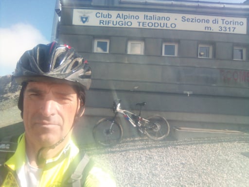
58,96 km
Km
+2 119 mt
Vertical meters
Route difficulty
Landscapes
70,85 km
Km
+2 600 mt
Vertical meters
Route difficulty
Landscapes
68,38 km
Km
+2 000 mt
Vertical meters
Route difficulty
Landscapes
80,93 km
Km
+2 150 mt
Vertical meters
Route difficulty
Landscapes
61,32 km
Km
+2 620 mt
Vertical meters
Route difficulty
Landscapes
2024/08/08
- Italy - Piemonte, TO 62,88 km
Km
+2 500 mt
Vertical meters
Route difficulty
Landscapes
25,01 km
Km
+1 177 mt
Vertical meters
Route difficulty
Landscapes