Italiano
 Deutsch
Val Camonica e Valfurva
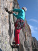
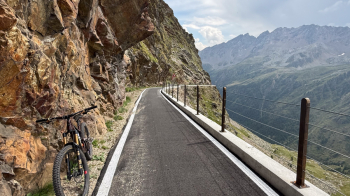
Start from S. Apollonia (just above Ponte di Legno, heading toward Gavia), then climb the road to Gavia. You can also start from Bormio or S. Caterina Valfurva; the only thing to keep in mind is to set out early because the ride is long, especially if you’re riding a mountain bike rather than an e-bike. To avoid the dark tunnel on the climb, there’s now a new bike path.
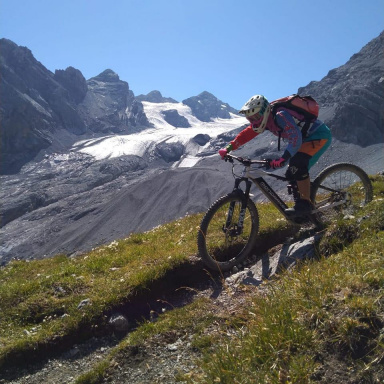
From the pass, leave the road and take a trail that runs along the river on its orographic right bank. At the Berni Mountain Hut, the descent down Doss Bolon begins; with a few ups and downs, it leads down toward S. Caterina Valfurva. Be very careful when crossing the bridge over a stream, because the next few meters are exposed on the left (you can’t see it, but about fifteen meters below is the stream swollen with water from the glacier).
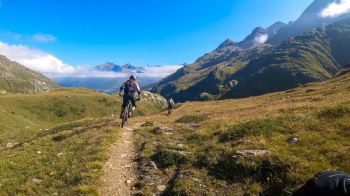
At a fork, keep to the left (if you stay to the right, you’ll climb a bit and end up on the Romantica descent) until you reach Ponte delle Vacche (Pünt dli achi).
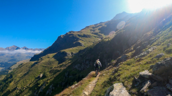
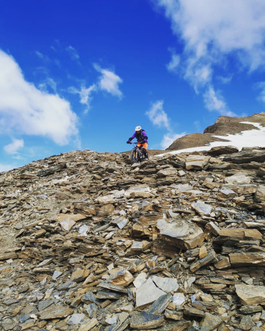
Turn right and climb 100 meters in elevation to take a trail that initially runs almost flat before descending to Santa Caterina: difficult, with some sections requiring walking and several technical passages. Alternative: Cross the Ponte delle Vacche and follow the dirt road that leads out onto the pass road, then take the shortcuts along the trail to Santa Caterina (a lot of fun).
Head down to Bormio via the road and then take the bike path to save time, then take the lifts back up to Cime Bianche. Today’s ticket for all the cable cars is called “3 gondolas” and costs 25 euros.
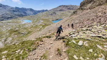
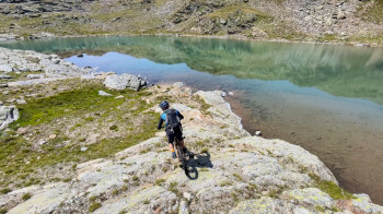
From there, head toward Bei Laghetti—with a killer climb at high altitude—and Bocca di Prufa, then follow the beautiful trail (though it also includes an uphill section) back to Santa Caterina. Some sections are rated S3.
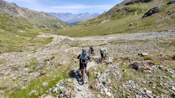
Take another lift up to Sunny Valley; from the mountain hut, head up to Lago dell’Alpe to take the Dynamite Trail, and then, staying to the right of the stream, you’ll reach the Gavia road. There’s a place to grab a bite to eat just belowthe Agriturismo Malga dell’Alpe—highly recommended! Climb back up to the pass (300 meters of elevation gain), a short stretch of road (there’s supposed to be a trail, but it’s very patchy—losing about 200 meters of elevation), and then down the Gallo Trail. This trail has been somewhat graded at the start (too bad), but once you cross the stream, it becomes natural and beautiful, with just the right amount of technical difficulty—I’d say S3—featuring a few more challenging and narrow sections that are quite rutted. A final short stretch of dirt road brings you back to the car.
Total elevation gain of nearly 4,700 meters, of which about 2,000 were ridden.