Italiano
 Deutsch
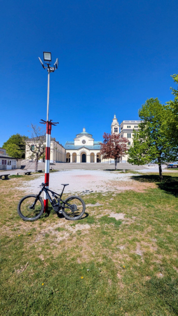
Rossiglione - Praglia - Madonna della Guardia - Genova

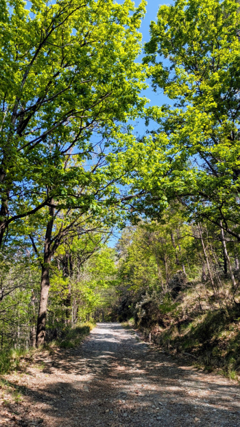
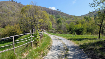
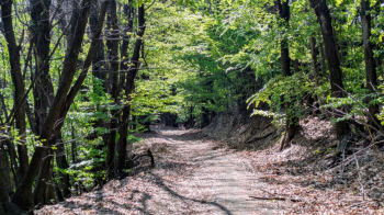
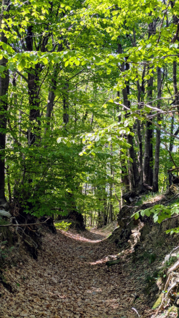
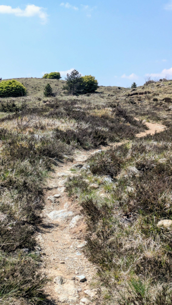
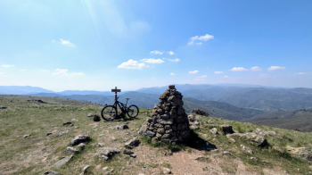
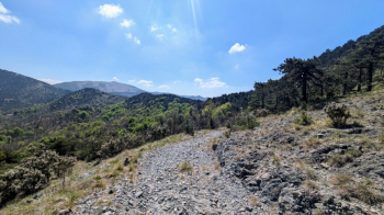
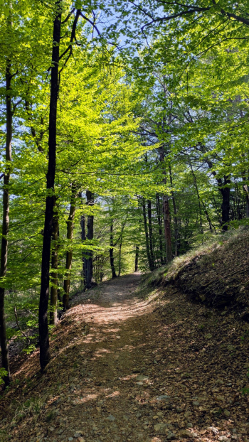
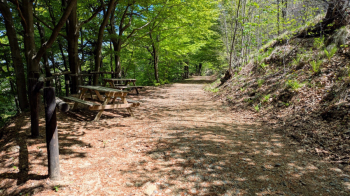
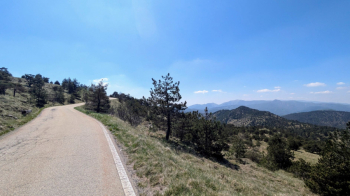
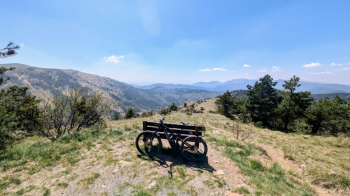
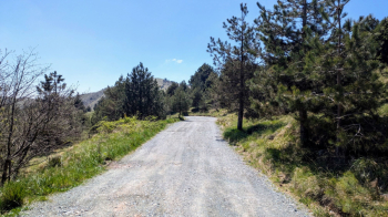
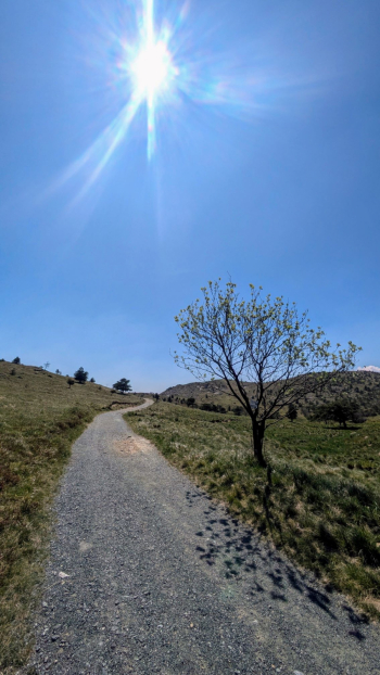
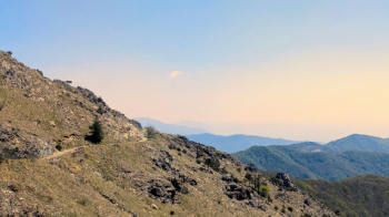
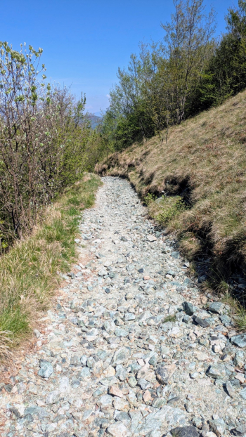
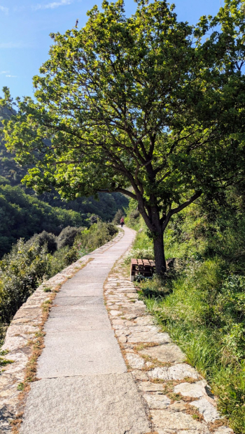
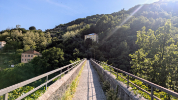
An excellent all-mountain traverse. After arriving by train in Rossiglione, follow the Berlino road, which eventually turns into a dirt road and climbs through the woods. Once you reach the highest point of the route, the trail opens up to sweeping views of the Apennines, the Alps, and the Ligurian Sea. On the ridge, the trails are natural and rocky in places: they require a bit of technique, but nothing too challenging. The subsequent transfer along the SP167 also offers great views and a total absence of vehicle traffic (during the week). The descent to Lencisa follows a natural trail, sometimes smooth and sometimes rocky. At Madonna della Guardia, you’ll be spoiled for choice when it comes to trails for the descent. A short stretch through town in Pontedecimo is the most—and only—chaotic part of the entire route. From Manesseno, vehicle traffic will be significantly lighter. At the Trensasco Pass, you descend on asphalt to reach and followthe HistoricAqueduct, which in just a few kilometers will take you into the city, in the Marassi area.
Rossiglione FS - Strada Berlino - Strada Fontanassi - Monte Pracaban - Capanne di Marcarolo - Praglia - Vaccarezza Superiore - Lencisa - Madonna della Guardia - Gaiazza - Pontedecimo - Manesseno - Trensasco - Historic Aqueduct - Stadium Parking Lot
The route lends itself to more comfortable and/or shorter alternatives and variations. For example: starting from Campo Ligure/Masone, you can save a few kilometers by continuing uphill on a dirt road. At Madonna della Guardia, you can choose any trail leading down to Gaiazza or the more convenient Guidovia. If you have a good battery charge, you can reach Pedemonte via the San Cipriano/Morego hill, thus avoiding the city traffic of Pontedecimo (the only chaotic stretch). Once you reach the Trensasco pass, you can take a detour onto the Righi dirt road and, from there, take one of the many trails down into town.
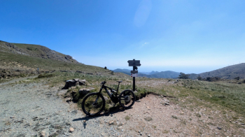
Turbo Levo Comp. Started with 100%, finished with 6%. Total weight with clothes and backpack 85–90 kg. Settings: Eco 25/25 – Trail 35/60 – Turbo 60/90.