Italiano
 Deutsch
Sulle alture liguri (GE)

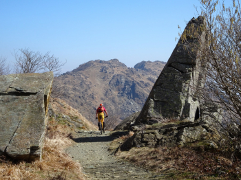
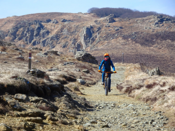
Excursion on scenic, technical trails with several sections where you have to push or carry your bike on the hills of Cogoleto, Arenzano, and Varazze (GE). Start from the hamlet of Lerca in the municipality of Cogoleto. On traffic-free asphalt, you reach Sciarborasca, where you follow a short and easy trail called Grettini. Still on asphalt, you climb to Deserto, Passo del Muraglione, and Faie, where the asphalt ends. On a beautiful dirt road, you climb gently with a few steep sections to PraRiondo, where there is a refuge of the same name.
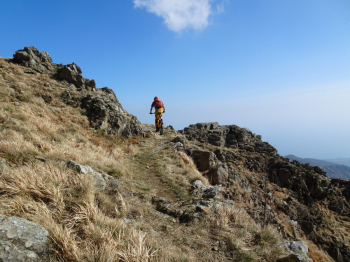
From the refuge, take the panoramic dirt road, which you leave to turn left onto a trail marked AV (AltaVia). Now there are several sections where you have to push or carry your bike, as the trail is not suitable for cycling, but it is easy. You cross grasslands and it is a continuous up and down from the bike to the Argentea refuge.
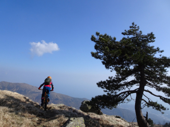
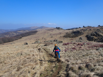
The highlight of the excursion starts from the refuge and leads to Cà della Gava, a scenic trail that has everything: flowing sections and technical sections. The excursion should be undertaken in favorable weather conditions; however, there are several places along this section where you can take shelter in case of sudden bad weather. Near the pool at Cà della Gava, trail A starts, taking us to Passo Gua. Trail A is a classic Ligurian trail that has been significantly affected by water erosion: as of March 7, 2026, it is perfectly passable and has been recently repaired.
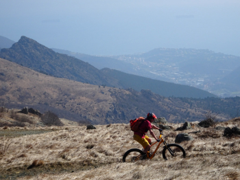
At Passo Gua, enjoy the Alta Tensione trail and then Lerone DH until you cross to the other side of the stream on a small wooden bridge. Now there are several relaunches with some pushing sections that make themselves felt at the end of the ride, and we return to Lerca where we parked the car.
PLEASE NOTE: this is a challenging excursion due to the constant getting on and off the bike in the section before reaching the Argentea Refuge (wear shoes that are also suitable for walking!), the descents with several technical sections, and the relaunches in the final section from the wooden bridge onwards.
For everything else , please refer to the photo report.