
 Italiano
 Deutsch
Colle della Terra e Colle della Porta per il Sentiero del Re

Wide-ranging and highly satisfying cycle-mountaineering trip, one of the most classic in the Orco Valley, all in all with a fairly contained portage, considering the total development and altitudes.
Departure from Ceresole Reale with an excellent and pleasant warm-up on the road to the Nivolet up to an altitude of 2080 mt where at a hairpin bend we leave the asphalt road for good to follow the old "road" that is now a wide path that allows pedaling with effort (a few pushing steps).
Rejoining the path coming from the state highway above Lake Agnel (a smoother alternative but also longer and more tedious) we continue on moderate inclines.
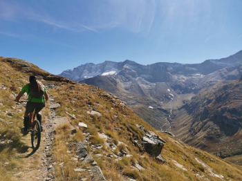
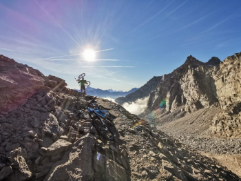
We are now on the very long and exciting hyper scenic trail that traverses with mostly bikeable path, but with technical passages and a few walking steps. At the P.N.G. hut, the going gets tougher and we mostly bike to the shoulder until we connect higher up on the Sentiero del Re (King's Trail), at first flat and always rideable, then uphill alternating with bikeable sections until the final ramp at Colle della Terra at 2911 mt.
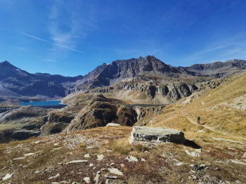
Now a fun descent on friable terrain overlooking the beautiful Lake Lillet ( 2770 mt) awaits us.
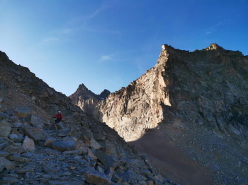
Skirting the lake the trail climbs gently but rather technical, here pedal those with technique, lots of leg and tenacity until you reach the Colle della Porta (3000 mt) overlooked by the Testa del Grand Etret.
Now at last a long descent awaits us, but beware that to earn the beer there is still a lot to do, so properly replenished with energy we throw ourselves down on the wide path paved with blocks of rock that require a nice firm and active riding, in some places the stony ground overhangs the path, then little by little we descend on a series of very suggestive plateaus to give breath.
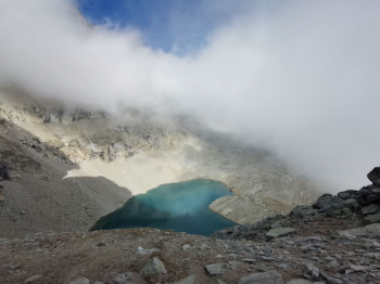
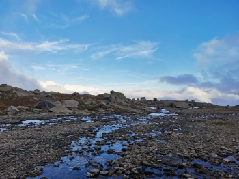
After passing a small lake (2380 mt) near the Alpe di Breuil, you descend another 100 meters of elevation gain on a technical winding path until you reach a junction at which you must turn right, arriving at a marsh to be forded and with a path that is not very evident.
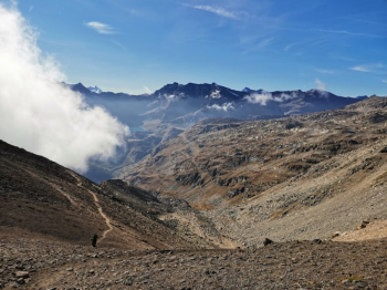
Here begins a long traverse, at first downhill always technical on even moving rock, then it starts to climb gently but with frequent sections to be done on foot (it depends a lot on how tired you are) until you reach the last pass of the day, Colle Sià ( 2274m.)
Finally we are at the spectacular final descent, never extreme but still physically and technically demanding but giving you a toothy smile! You have to be careful at the first fork in Pra del Gres (2000m.) where you have to turn right, then just below Casa Bianca you leave out the Sentiero Balcone (Balcony Trail) on the right to continue straight downhill (not very evident) on the Via Alpina (blue D28) and Gta that we will not let go of until Ceresole.


