
 Italiano
 Deutsch
Ducanfurgga

Top 10 itinerary ever. The trail percentage is simply monstrous and will drain all your energy.
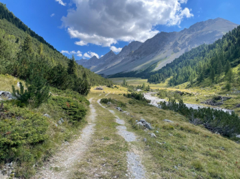
Start from Filisur, in the valley leading to the Albula Pass. You climb up to Bergün first on a comfortable dirt road then on a rather steep trail. You descend to the village, refuel with water at the big fountain in the center, and set off for the big climb. First on asphalt, then on a comfortable dirt road, then on a killer dirt road because of the gradient, alongside the creek. Fortunately the steep bit is short and you arrive at the gully that leads to Ducanfurrga.
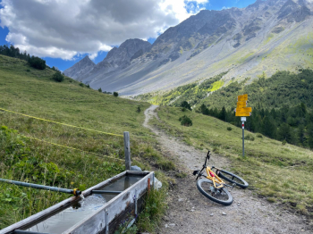
At elevation 2050 you find the last fountain and the beginning of the trail, which is rideable.
This trail then climbs up the left side of the huge moraine, and there it pushes on for about 40 minutes.
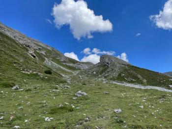
Amazing but true, at the top of the moraine you resume pedaling toward Ducanfurrga, which is the furthest pass you see.
The environment is spacey and the solitude total. I didn't meet anyone on the 4th of August....
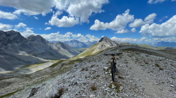
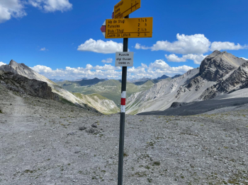
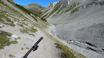
Finally you get to the pass and see what awaits us on the other side.
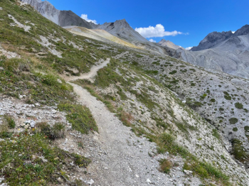
The trail at first is hollowed out and very rocky, past the scree however it becomes an absolute libido, even considering that there is really no one around.
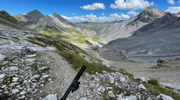
There are also few bike tracks. Understandably so, given the hardness of the ride.
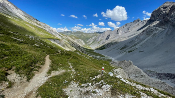
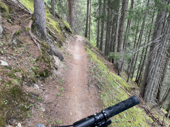
Never too technical, the descent is endless and passes through different landscapes.
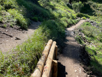
Toward the end you change orographic sides with a short uphill push piece, then arrive in Sertig, where there is a restaurant if you are hungry. Just behind the restaurant you take a left onto a trail that starts out rocky uphill, then becomes an almost completely rideable trail if one has good leg and technique on the ascent.
They even built a trail for bikers and one for pedestrians, which you start to see again.
The trail climbs, is endless and very tiring. It throws us off onto a dirt road by the Jatzmeder cable car station. After a couple of kilometers a very fun all up and down trail begins again, where the Swiss Epic is also run. This is also nice and long. It ends in a dirt track that we follow downhill briefly and then continue on a steep trail that takes us to the beginning of the last dirt climb.
What comes at the end (a very long end) of the ride is yet another singletrack treat.
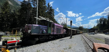
It almost feels like being on a bisse in Canton Valais. You descend to the gorge where the little red train passes, with spectacular views of gorges and viaducts.
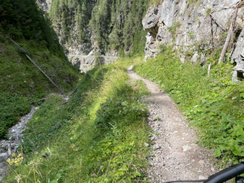
Impossible not to stop and take pictures.
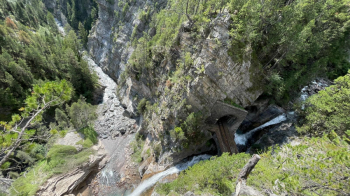
Train enthusiasts come here from all over the world.
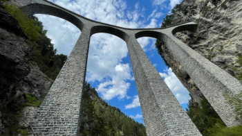
Especially for the viaducts:
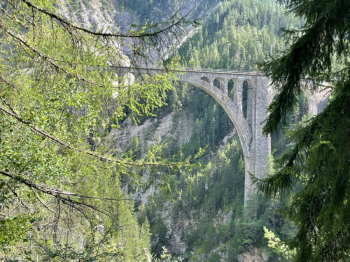
The most famous is definitely the Landwasser, in when curved.
And this is where the tour ends. You can shorten it by 500 meters of elevation gain if you take the train from Filisur to Bergün, which I would recommend given the amount of energy needed to enjoy the trails above Davos.