
 Italiano
 Deutsch
Scalettapass

Another epic round in the Albula area.
Depart from the Filisur soccer field, where parking is free. You get on and go to the station, where you take the train to Davos Platz. With half an hour on the train, you eat your way back up to Davos, partly because the beauty of the ride starts there.
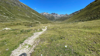
In fact, after a few kilometers on asphalt you find yourself in this beautiful valley:
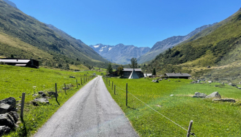
The ride is pleasant, never steep, and the vegetation changes as the altitude increases.
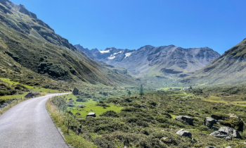
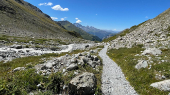
You reach the end of the road, at the Dürrboden Alp. From here on you have several kilometers of trail ahead of you. If you are fit, you will pedal almost all of it, otherwise it will become an epic push.
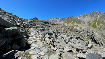
You climb up to the Scaletta pass, located on the right in the photo above. The gradient is steep, but the bottom is mostly good. I think I managed to pedal about 85 percent of the climb, not without sweating the infamous 7 shirts.
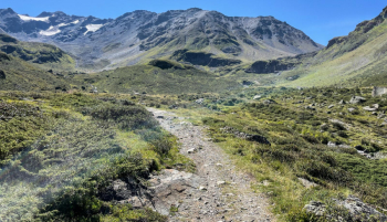
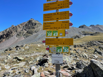
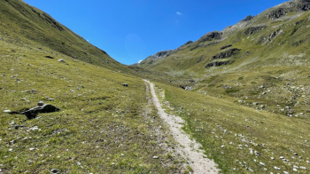
The ride is fully marked with trail marker 90.
As you can see, the trail is well maintained.
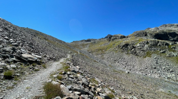
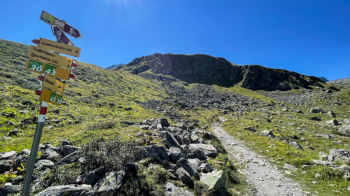
Up to 100 meters of elevation gain below the pass, you pedal for the most part, then you have to push on to get to the top of the pass.
From the pass begins a beautiful descent all doable in the saddle without great difficulty to the 2191 meters of Alp Funtauna.
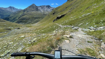
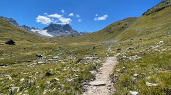
From there, the ascent to the Kesch Hütte begins. An initially rather flat valley with a nice, rideable trail.
View toward Alp Funtauna:
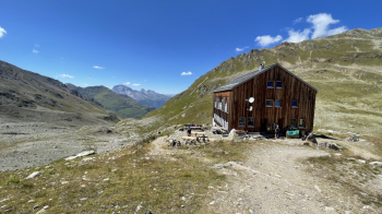
View towards the hut:
Again, as with the Scaletta, most of the pedaling is done except for the last 100 meters of elevation gain, which become steep and with very uneven ground. On the other hand, the views toward the glaciers (or what's left of them) are fantastic.
The hut:
The descent from here to Bergün is nothing much in the way of cycling fun. A small cart track, in its final part also steep, comes out on a forest road that then becomes a paved road from which there is no escape, because the valley is very sunken and the stream very pissed off (it originates from the glaciers that were in the previous picture).
Enjoy the view, relax and get your mouth watering for the snack you can have in Bergün.

As you can see the stream waters are gray with glacial debris.
From Bergün last effort to reach the dirt road back to Filisur.
