
 Italiano
 Deutsch
Bischola Pass & Glaser Grat
Wonderful alpine route, of which almost no reviews can be found. The tour starts from Thusis, you can leave your car for free (up to 8h) at the river bank in the campground area.
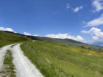
To get to the Bischola Pass is 17km and 1300 meters of climbing. The first 1100 all well pedaled on mostly paved road with a few dirt sections. All practically without traffic and in complete tranquility.
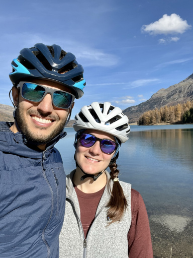
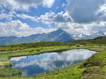
The last 200 meters alternate between pedaled stretches and a bit of pushing bike on trail/prairie. The effort is definitely rewarded by the view of Bischola See with Piz Beverin in the background.
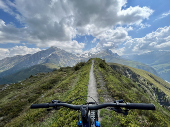
After the well-deserved sandwich break, a first section of about 150m downhill starts. 1km of very enjoyable alpine flow to get to cross the farm track at Ober Rascheins. Here the climb resumes, very gentle and alternating a few flat sections, to a junction at an elevation of 2000 meters. From here the last effort of the day, 130 meters of elevation gain, most of it with the bike on the shoulder, along the ridge leading to Glaser Grat at elevation 2124. Even here the views let you look at them.
Refreshed for a second time at the summit, we prepare for the good stuff: 13km of descent to Thusis, almost all on single track, never too difficult, and all doable in the saddle. The first 300 meters of elevation gain are on beautiful alpine flow, leading up to the Glas Pass. When you reach the pass, you climb about 30 meters, before plunging back into a very long descent all on trail, first over meadows and then through the woods (some steep sections) down into the valley until you reach the Nolla River.
Along the river you follow a carriage road for just over 1km. Crossing a bridge, you jump onto the last fun singletrack of the day that takes you back to the center of Thusis. From there it's a few minutes back to the starting point. Cold beers at the campsite bar will be a fitting conclusion to a beautiful and really recommended ride.
I only point out that when we rode the tour (10/6/2023), on the singletrack in the forest from elevation 1,380 to the river (elevation 1,000), grass pruning work partly made this section, which would otherwise be passable without too much difficulty, more difficult.