Italiano
 Deutsch
Obermutten - Crocs - Thusis

Itinerary with a crazy descent, both for the continuous forest floor from start to finish and for some very challenging switchback passages and a very flowing last third with nice passages in the middle of the forest.
Departure from Thusis. Since the road up to Solisbrücke is best not done by bike because of the tunnels and traffic, you can take Postbus number 521, which carries bikes despite its small size. Highly recommended is a reservation, also doable online here. If it is full, take the train from Thusis to Tiefencastel and from there go up the only paved/steep road.
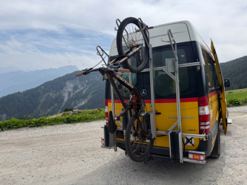
To get to Obermutten the bus circulates on a dirt road. In all it takes us up 1400 meters of elevation gain.
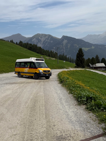
We pass through the bucolic village of Obermutten and follow an unmarked track through the meadow to begin a level traverse on a very narrow singletrack that is almost all pedalable, then rejoin the dirt road coming from Obermutten, but going up and then down. At the end of the road we take a path with a forest floor, first quiet.
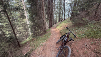
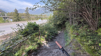
and then rushing headlong in the direction of the valley with lots of switchbacks, many of them steep and narrow requiring excellent nosepress technique. Some passages I would categorize as S4 because you need a lot of precision and cold blood to get the one line right.
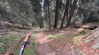
So far there is nothing exposed, we arrive at a clearing where we draw breath before starting the most difficult section because of the steep, narrow switchbacks and some exposure.
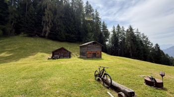
No worries, the trail passes away from the cliff in the photo below, but the slope is still steep and falling, in this area, is not recommended. Pushing is not a disgrace, not least because then you can keep fiddling with nosepresses until you are exhausted.
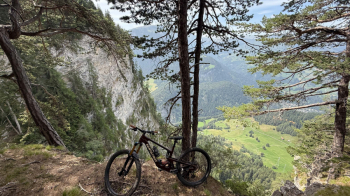
The good thing is that no one is around and the bottom remains soft and very grippy.
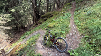
The trail takes us onto a dirt road, which we follow enjoying some relaxation and refreshment. A climb of about 200 meters of elevation gain on dirt road and trail awaits us, taking us to the viewpoint over the Rhine valley below, where Thusis is.
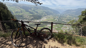
The rest of the descent is very flowy, fast, with lots of turns through the forest, roots and rocks. In case it is wet it becomes more challenging; when dry it is a very fun S2. After several forks we arrive under the San Bernardino highway and return to the starting point.
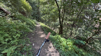
We pass right under the highway. Next time you drive through Thusis, you will know that a break is a must. If you want to avoid the upper part, you can go up by dirt road to the most flowing part of the trail.