
 Italiano
 Deutsch
Anello Gemelli da Passo Selletta
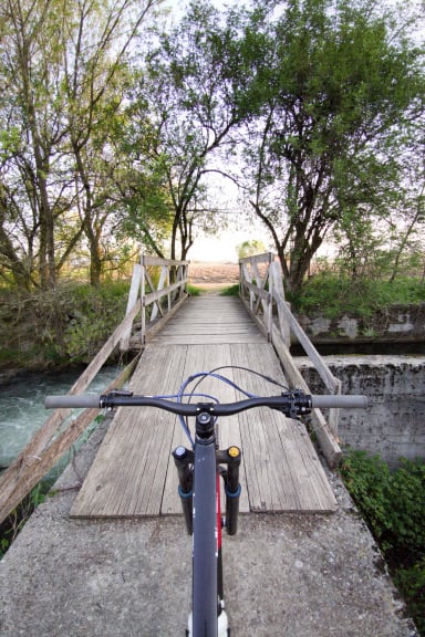
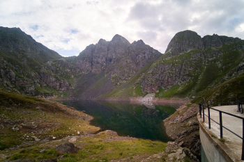
Very challenging and very cyclodist but epic ride, about 2800d+ of which several push and shoulder. Variant of this ride Depart from Roncobello, (I recommend starting from Isola di Fondra), you pedal up to Carona and then to the Longo refuge, push (or pedal with ebike) up to the Devil's Lake. You shoulder for 150 meters of elevation gain to the Selletta pass, where a spectacular panorama and view of the Diavolo di Tenda peak awaits you
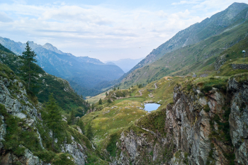

From here we descend on a challenging S3 trail to the Calvi hut and then detour to the pass on a beautiful flat trail. After about 100 meters of not too challenging pushing you reach the pass where a short but beautiful descent begins (150 meters). Past Lake Sardegnana begins a beautiful trail, it is a trail mostly dug on the ridge, very beautiful, scenic, protected. After a few meters push you reach Lake Marcio and continue to Rifugio Gemelli. Push up to Mezzeno Pass, descend by a super challenging descent initially S4/S5 then S3/s4 to Mezzeno huts.
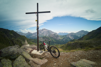
From after the Mezzeno huts you divert onto the beautiful Grumello trail (technical, rocky S3) then take the Barca trail (very nice, less technical, S2, with some sections needing attention S3). To close after a section of gippabile you take the trail down to Vendulo S3 from where you take the nice descent to Isola di Fondra or to Roncobello. From Vendulo above if you still have more you can stretch towards Porta delle Cornacchie and Cima Baresi, two wonderful peaks!
MTB: Yes
EMTB: Not recommended because of the shoulder to Portula Pass.
Difficulty ascent: Very challenging
Difficulty descent: S2/S4