
 Italiano
 Deutsch
Laghi Gemelli
Very physically demanding tour but with many satisfactions, about 2400 meters of positive elevation gain (reducible by avoiding Alpe Corte) of which some done by pushing but on slopes not exaggerated (never to be shouldered).
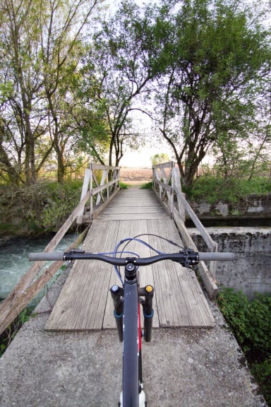
Departing from Roncobello, (I recommend starting from Isola di Fondra) you pedal to Carona and then to the Calvi refuge, a possible stage that I avoided so as not to add more elevation gain,
You detour to the Aviasco pass on a beautiful flat trail. After about 100 meters of not too challenging pushing, you arrive at the Sardegnana pass where a short but beautiful descent begins (150 meters).
Past Lake Sardegnana begins a nice trail on trail 212, this is a trail mostly carved on the ridge, very beautiful, scenic, well protected. After a few meters push, you arrive at Lake Marcio (never seen it so dry) and continue to the Gemini Hut.
Here there are 3 alternatives
- Destroyed descent from Mezzeno Pass to the ei Mezzeno huts (not recommended).
- Follow gpx track to Gemelli lakes pass, first part pedalable, last 80m push.
- Descent to Alpe corte very technical with sections to be done on foot.
Ascent back to Alpe Corte on steep but manageable trail with some paved sections. The descent from Branchino pass is worth all the effort made before. From after the Mezzeno huts we divert onto the beautiful Grumello trail (technical, rocky) and then take the Barca trail (very nice, less technical, with some sections that need attention). To close after a section of gippabile you take the trail down to Vendulo from where you take the beautiful descent to Isola di Fondra or to Roncobello. From Vendulo above here if you want, you can stretch towards Porta delle Cornacchie and Cima Baresi, two stupendous peaks!