
 Italiano
 Deutsch
2023/08/10 14:32:46
Sentiero dei Fiori completo, Corna piana
Author
Place
Italy - Lombardia, BG
Km
27,74 km
Elapsed time
04:49:49
Vertical meters
+1 759 mt (992 - 2131)
Route difficulty
Landscapes
Last update
2023/08/11 17:59:24
Comments
Description
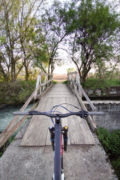
Hiking tour with bike learned, included only for reporting purposes to advise against it. Deserves both ascent and descent only up to Branchino, then you always have to bring your bike. Traverse low Fiori trail to Hut 2000, beautiful only in the opposite direction.

Traverse high Fiori trail and Gabbia pass on gravel almost all to be carried (not recommended in either direction).


Descent from Corna piana 50% carrying bike.

From elevation 1650, Gan Nembro area to Branchino all rideable.
Graph
Nearest Routes
23,76 km
Km
+1 349 mt
Vertical meters
Route difficulty
Landscapes
32,17 km
Km
+2 300 mt
Vertical meters
Route difficulty
Landscapes
49,76 km
Km
+2 859 mt
Vertical meters
Route difficulty
Landscapes
44,08 km
Km
+2 400 mt
Vertical meters
Route difficulty
Landscapes
15,97 km
Km
+1 200 mt
Vertical meters
Route difficulty
Landscapes
45,71 km
Km
0 mt
Vertical meters
Route difficulty
Landscapes
14,05 km
Km
+737 mt
Vertical meters
Route difficulty
Landscapes
44,61 km
Km
+2 100 mt
Vertical meters
Route difficulty
Landscapes
2023/08/13
- Italy - Lombardia, BG 27,24 km
Km
+1 545 mt
Vertical meters
Route difficulty
Landscapes
27,95 km
Km
+1 700 mt
Vertical meters
Route difficulty
Landscapes