

 Italiano
 Deutsch
Monte Masoni
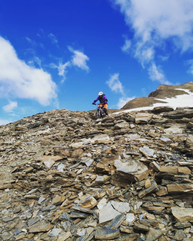
A spectacular, challenging, and difficult mountain bike ride, both uphill (steep gradients and several sections where you have to push the bike or carry it) and downhill, with some decidedly exposed sections.
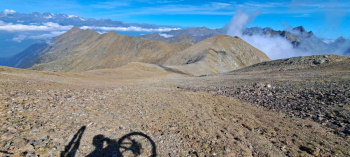
Mount Masoni (2,663 m) is a peak along the watershed between the Brembana Valley and the Valtellina, specifically between Va Caronella Brembana and the Livrio Valley. When visibility is good, magnificent views of the Orobie Alps in the upper Val Brembana and the Rhaetian Alps along the border are guaranteed.
The route starts at the Carona Lake dam, at 1,100 meters. We climb on paved road along Via A. Locatelli to the start of the jeep-accessible trail, which passes through the quaint hamlet of Pagliari and ascends toward the Calvi mountain hut, trail marker 110. The gradients are steep, but the route is rideable even on a standard bike. At an elevation of about 1,650 meters, near the small lake of Prato, the road levels off somewhat. At a fork with a signpost, turn left toward the Longo Refuge, trail marker 224. The steep climbs resume as you ride to the Longo Refuge, 2,026 meters. From here, the road becomes even steeper with a rough surface, making it impossible to ride a standard bike. A little further on, however, you can stay in the saddle for a few stretches until you reach Lago del Diavolo, at 2,130 meters.
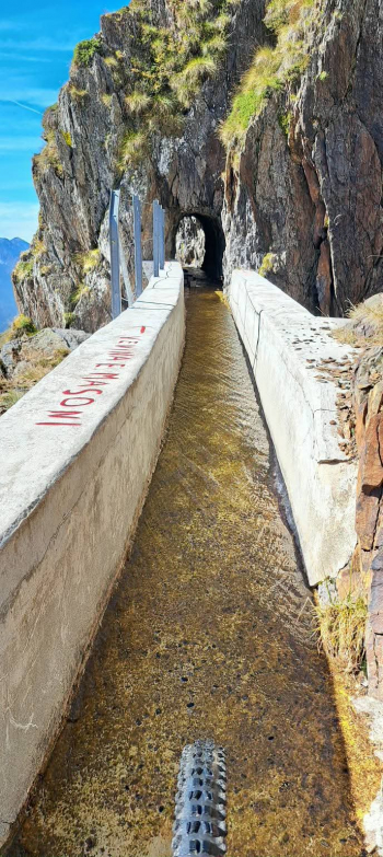
On the return trip, take the distinctive, gently sloping water conduit trail toward the Venina Pass until you reach trail 254.
Now the trail begins to climb steeply, passing a very steep slope and several rocky outcrops; you’ll need to carry your bike on your shoulder. Once you reach the ridge, continuing to the right would take you to the Venina Pass, but to reach Mount Masoni, you must follow the trail to the left, first passing beneath the Venina Peak at 2,624 meters. After climbing a ridge at an elevation of 2,630 meters, you’ll ride downhill for 40–50 meters to a wide saddle, then carry your bike up the final slope to the cross on Mount Masoni, 2,663 meters.
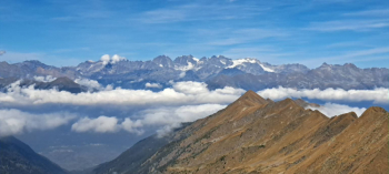
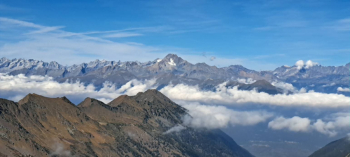
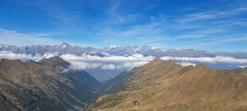
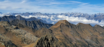
After admiring the magnificent panorama of the Rhaetian Alps (Palù, Bernina, Disgrazia, Cengalo, Badile) and the Orobie Alps of the upper Brembana Valley—with Pizzo del Diavolo standing out among the many peaks—you’ll prepare for the descent.
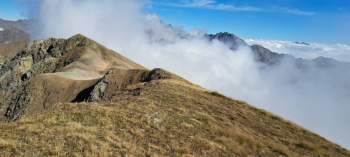
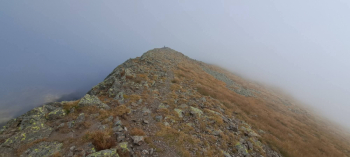
The first part follows the ascent route to the junction with the pipeline trail (very challenging, technical sections; some sections require walking; exposed—proceed with caution; S3–S4 [and higher for experts]). Continue now to the right along Trail 254, being careful not to lose the trail in some less visible spots. Continuing along exposed sections, you’ll pass more rocky outcrops; you must remain very careful (S3-S4). The trail emerges halfway between the Longo mountain hut and the hairpin bend below. Unfortunately, you now have no choice but to descend along the jeep trail for about one and a half kilometers to the first hairpin turn, at 1,730 meters. Here, turn right onto the grassy, uphill path heading toward Val Sambuzza. Continue along a stretch that winds slightly up and down. At a second mountain hut, the road ends, giving way to a beautiful trail that climbs slightly and ends where it intersects with the Val Sambuzza trail at 1,730 meters.
Turning left, the winding descent becomes scenic and fun (S2-S3) until you reach a fork by the stream at 1,520 meters. Continuing on, you’ll soon reach the Val Caronella road; crossing the small wooden bridge, you’ll easily reach the mountain huts in the village of i Pozzi. From here, things change: the trail becomes narrow and steep, and after a series of tight, closely spaced switchbacks, it ends in the hamlet of Pagliari (S3-S4).
Instead of descending directly to Carona, turn left to cross the beautiful little village until you reach the Brembo di Carona stream. After crossing the small bridge, climb briefly to begin the descent along the “Sentiero dei Fiori.” The route is quite technical, with rocky and root-covered terrain and some fun sections, but caution is needed here as well—especially when wet, as it becomes very slippery (S3-S4). Once you reach Lake Carona, all that’s left is to follow the pleasant bike and pedestrian path along the lake back to your car.
I’d especially like to thank Mario R. Crippa for the inspiration and for providing me with an initial route that I modified for the second and third parts of the descent.


