

 Italiano
 Deutsch
2026/08/20 18:29:27
Alta val di Non
Author

Place
Italy - Trentino-Alto Adige/Südtirol, TN
Km
59,73 km
Elapsed time
03:42:35
Vertical meters
+2 000 mt (872 - 1791)
Route difficulty
Landscapes
Last update
2026/08/21 09:08:02
Comments
Description
A route with no particular technical difficulties but very enjoyable and scenic.
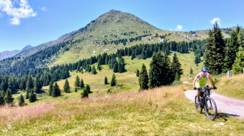
The route starts at the Palade Pass and descends to Senale. From there, following forest roads with a few paved sections, you’ll reach the Castrin Pass.
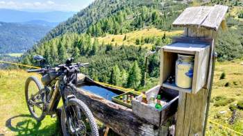
After a short stretch of trail, you cross the provincial road and reach the Untere Kessel Alm, which offers good refreshments (if you wish, you can continue up the steep road to the upper alpine pasture, where you can enjoy cold beers from the fountain and a beautiful view).
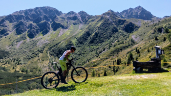
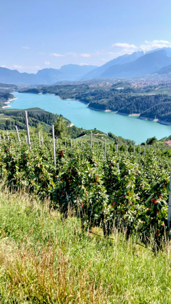
You then descend to Proves, the Fresna Pass, and Mocenigo; from there, follow the Rankipino trail—with plenty of ups and downs through the woods—to Senale and then up to the Palade Pass.
Local weather
Tue 00:00

7 °C
Tue 12:00

8 °C
Wed 00:00

7 °C
Wed 12:00

9 °C
Thu 00:00
5 °C
Thu 12:00

6 °C


Graph
Nearest Routes
87,74 km
Km
+2 200 mt
Vertical meters
Route difficulty
Landscapes
2023/02/26
- Italy - Trentino-Alto Adige/Südtirol, BZ 26,94 km
Km
+1 020 mt
Vertical meters
Route difficulty
Landscapes
21,72 km
Km
+880 mt
Vertical meters
Route difficulty
Landscapes
41,08 km
Km
+1 500 mt
Vertical meters
Route difficulty
Landscapes

28,09 km
Km
+1 409 mt
Vertical meters
Route difficulty
Landscapes
2024/08/25
- Italy - Trentino-Alto Adige/Südtirol, BZ 38,00 km
Km
+2 200 mt
Vertical meters
Route difficulty
Landscapes
51,12 km
Km
+2 300 mt
Vertical meters
Route difficulty
Landscapes
2023/05/25
- Italy - Trentino-Alto Adige/Südtirol, BZ 
31,85 km
Km
+1 829 mt
Vertical meters
Route difficulty
Landscapes

21,98 km
Km
+1 200 mt
Vertical meters
Route difficulty
Landscapes
48,31 km
Km
+760 mt
Vertical meters
Route difficulty
Landscapes