HOME RANKINGS CHALLENGES ROUTES NEAR ME PLANNING SEARCH LOGIN
Switzerland
2026/08/11 07:27:12

Sertig pass + Epic Trail

1 Downloads
0
 
Share

Key Takeaways / Scheda Tecnica

Disciplina:
Mountain Bike (MTB)
Percorso:
Sertig pass + Epic Trail
Località:
Switzerland
Distanza:
90,19 km
Dislivello Positivo:
+3 200 mt (Quota Min: 1083m - Max: 2696m)
Difficoltà Tecnica:
4/5
Valutazione Panorami:
5/5
Formato Traccia:
GPX Download disponibile
Author
Place
Switzerland
Km
90,19 km
Elapsed time
10:11:05
Vertical meters
+3 200 mt (1083 - 2696)
Route difficulty
Landscapes
Last update
2026/08/11 07:35:13
Comments
0
Description

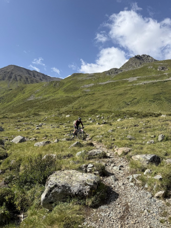
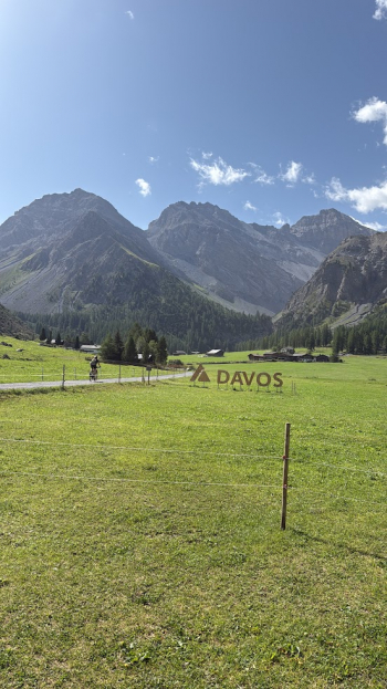
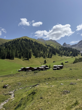
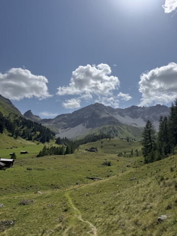
This is a very challenging ride, both in terms of physical endurance and MTB riding and control, but it captures the true essence of our beloved sport. The ride is divided into three sections: the first is more alpine, with sections where you have to push the bike or carry it; the second is smoother but technically challenging in places; and finally, the third involves climbing a pass on paved road—because that’s part of what mountain biking is all about. We set off from Zuoz at 7 a.m., heading toward Val Susauna and taking the small trails to avoid the cantonal road; the valley is nothing short of magical and rarely visited by day-trippers. The trail climbs, at times quite steeply, up toAlp Funtauna, where a fun trail begins leading to the junction for Passo Sertig: rideable at first, then requiring pushing and carrying the bike, we reach the pass at 2,740 meters.

The descent begins with a technical trail over loose scree before becoming increasingly smooth and fun; we arrive at Sand, where we join the famous Epic Trail. This trail has become famous both because it offers the ultimate MTB experience, in my opinion, and because it has been split into two paths: one for hikers and one exclusively for bikes. Fantastic! 30 km of singletrack with sections that are sometimes smooth and sometimes more technical, but always incredibly satisfying.

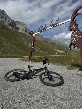
Once we reach Filisur, we begin the long climb up the Albula Pass, then dive headfirst into the flow trail that will take us down to the valley floor at La Punt. All that’s left is to head back to Zuoz to celebrate the day with a nice glass of sparkling wine! We did this ride on XC bikes, but a trail bike or all-mountain bike would work just as well. If you’re worried you might not make it, you can always shorten the ride by taking the train from Davos Wiesen, Filisur, or Bergün.
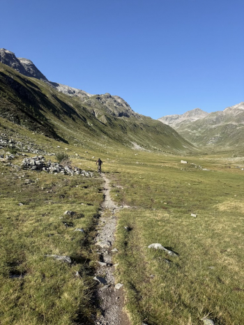
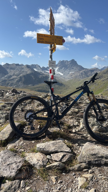
Foto itinerario MTB Sertig pass + Epic Trail - SwitzerlandFoto itinerario MTB Sertig pass + Epic Trail - SwitzerlandFoto itinerario MTB Sertig pass + Epic Trail - SwitzerlandFoto itinerario MTB Sertig pass + Epic Trail - SwitzerlandFoto itinerario MTB Sertig pass + Epic Trail - SwitzerlandFoto itinerario MTB Sertig pass + Epic Trail - SwitzerlandFoto itinerario MTB Sertig pass + Epic Trail - Switzerland

Download our free mobile app to send this route to your Garmin device or to navigate it on OSM maps. Android - iOS
Local weather
Tue 00:00
6 °C
Tue 12:00
11 °C
Wed 00:00
7 °C
Wed 12:00
10 °C
Thu 00:00
2 °C
Thu 12:00
2 °C
Fri 00:00
2 °C
Fri 12:00
5 °C
Sat 00:00
3 °C
Sat 12:00
3 °C

Graph

Nearest Routes

2024/08/12
- Switzerland
Staff
(110)
26,02 km
Km
+1 005 mt
Vertical meters
Route difficulty
Landscapes
2026/07/18
- Switzerland
avalonice
(8)
30,60 km
Km
+1 150 mt
Vertical meters
Route difficulty
Landscapes
2023/08/28
- Switzerland
CrisB
(5)
38,27 km
Km
+695 mt
Vertical meters
Route difficulty
Landscapes
2025/08/24
- Switzerland
CrisB
(5)
89,17 km
Km
+2 300 mt
Vertical meters
Route difficulty
Landscapes
2023/08/20
- Switzerland
CrisB
(5)
34,63 km
Km
+1 038 mt
Vertical meters
Route difficulty
Landscapes
2026/08/05
- Switzerland
30,37 km
Km
+1 700 mt
Vertical meters
Route difficulty
Landscapes
77,62 km
Km
+2 267 mt
Vertical meters
Route difficulty
Landscapes
2022/09/05
- Italy - Lombardia, SO
tado79
(16)
62,40 km
Km
+2 104 mt
Vertical meters
Route difficulty
Landscapes
2023/08/20
- Italy - Lombardia, SO
tado79
(16)
39,96 km
Km
+1 600 mt
Vertical meters
Route difficulty
Landscapes
2024/08/14
- Italy - Lombardia, SO
tado79
(16)
53,29 km
Km
+2 000 mt
Vertical meters
Route difficulty
Landscapes

0 Comments