Italiano
 Deutsch
Fuorcla Valletta

This is a physically demanding Alpine route, featuring nearly 1,700 meters of elevation gain concentrated over approximately 32 kilometers. This route is a classic and spectacular high-altitude tour in the Engadine, centered on the famous Corviglia and Piz Nair area.
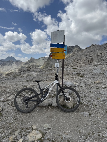
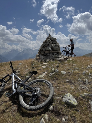
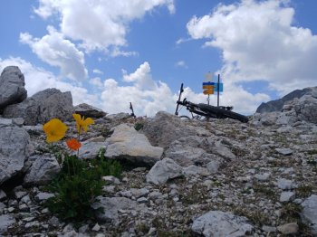
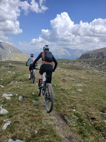
The route begins and ends in Samaden. From here, you tackle the long and challenging dirt climb that leads first to the Muntash alpine pasture and then continues on to a fun descent that takes you to the Marguns ski resort. From there, you climb toward the small lake above Corviglia on dirt trails that aren’t too steep. At this point, you’ll take a very fun and well-defined uphill “spaghetti trail”-style singletrack that leads first to Chamanna Saluver and then continues to the plateau leading to the summit of Trais Fluors, from here you’ll need to push your bike for about 100 meters of elevation gain until you reach the Fuorcla Valletta pass at 2,858 meters.
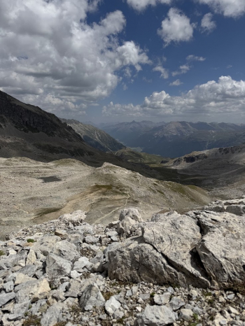
Now the descent begins—at first fairly steep and technical, but then increasingly fun and flowing. Afterward, you’ll need to climb a small ridge once more before descending via various singletracks of varying difficulty levels toward the valley floor. It’s all doable, but you’ll need to be in decent shape for the climbs and have some technical skill to tackle the descents on loose rock and the singletracks, which are sometimes quite steep and challenging.
I can’t say whether it’s feasible on an e-bike; I did it on a regular bike and have no experience with electric bikes, so it’s up to you to assess the feasibility.