Italiano
 Deutsch
Anello del Gries + Punta dei Camosci (Bettelmatthorn) + Corno Cieco (Blinnenhorn)

A mountain biking route that’s more about mountaineering than biking—perfect for fans of the genre! Long and strenuous (allow 12 hours on a mountain bike), best tackled on a day with good weather from morning to evening, especially since you’ll reach the day’s highest peak, at 3,375 meters, late in the afternoon. There are no water sources along the way, so consider alternatives such as a very large water bladder, a filter for collecting water from streams and creeks, or purchasing bottled water at the numerous mountain huts scattered along the route.
Starting from Riale, you’ll ride on an easy, off-road-friendly trail—never too steep—up to Passo San Giacomo (2,308 meters), then descend 100 meters on the Swiss side to the small church and take the beautiful traverse to the left toward Capanna Corno Gries (a very beautiful and scenic single track overlooking the Val Bedretto below and the paved road leading to Passo Novena, ending with a push to reach the hut).
From here, you ride (a bit) and push (a bit more) up to the Griespass (2,500 meters), with views of the Griessee and, above all, the two destinations of the day, which stand out right in front of us: Punta dei Camosci (or Bettelmatthorn) and Corno Cieco (or Blinnenhorn), which—despite its name—is clearly visible from this angle but still quite a distance away!
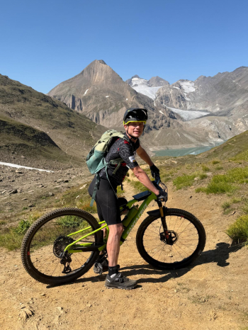
From the bivouac near the pass, you lose a few meters in elevation, and then push on to the Bettelmatt Pass at 2,650 meters.
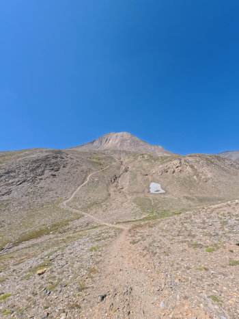
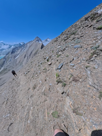
From here, take the trail on the right leading up to Punta dei Camosci (push the bike all the way up to 2,800–2,900 meters; then it’s best to get off the bike due to the very steep and rocky terrain, which isn’t rideable even on the descent). From the summit at 3,043 meters (somewhat exposed on the north side), there’s a stunning 360-degree view; your heart swells, and you’re rewarded for the day’s first real effort.
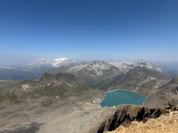
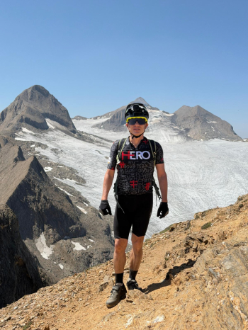
Retracing your steps back down to 2,650 meters, continue downhill toward the Città di Busto Mountain Hut: be careful, as the very first section includes a stretch of a few dozen meters with chains (some of which are broken).
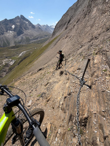
This brings you to the clearing below the refuge (2,480 meters), which requires a 50-meter push uphill. Take a short break for a sandwich, then take the trail toward the Lago del Sabbione dam. Unfortunately, in 2023 a landslide cut off the trail, which is officially closed: unofficially, you can take a path that descends almost to the base of the landslide, then climb back up with some effort after that (Caution! At this point, my attached track goes too high through the middle of the landslide due to a route error: you need to descend further, all the way down to the base). Or, better yet, instead of crossing the landslide, descend a little further to the front of the dam, climb up the other side for 100 meters to the Somma Lombardo Mountain Hut, and from there, comfortably cross the dam to return to the orographic left side of the lake. From here, you first ride along the shore of Lake Sabbione on a beautiful singletrack with consistently stunning views.
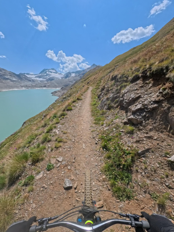
Then you push on to the Claudio e Bruno Mountain Hut at 2,700 meters. The final challenge of the day: nearly 700 meters with your bike on your shoulder (including some sections that are difficult due to the steepness and very slippery terrain)..
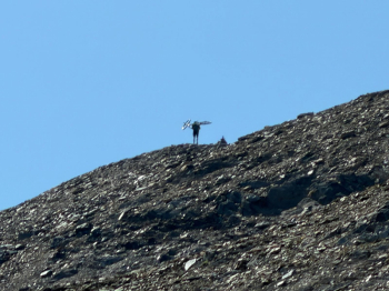
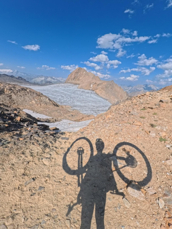
...which leads to the summit of the Blinnenhorn at 3,375 meters. Stop for a snack, take photos and 360-degree videos of all the surrounding mountain ranges and the glaciers below—still beautiful but now dying, with their brownish color bearing no resemblance to the white and blue of days gone by, and with long tongues of debris left where they’ve retreated. For those who love the mountains, it’s a view that’s both majestic and sad, and a blend of contrasting emotions that well up from deep within.
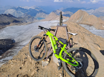
Come on, evening is falling; better to grab the bike and head down to the Claudio and Bruno Mountain Hut (on average an S3 descent, with some sections even S4 and beyond, but also some S1–S2 stretches): where your skills allow, stay in the saddle; otherwise, simply walk your bike where you can’t ride or where you don’t want to take risks, in the absolute solitude of the late afternoon at high altitude. From the Claudio e Bruno Hut, you quickly return to the Somma Lombardo Hut (practically all in the saddle), pass beneath the dam again, and head back toward Città di Busto...
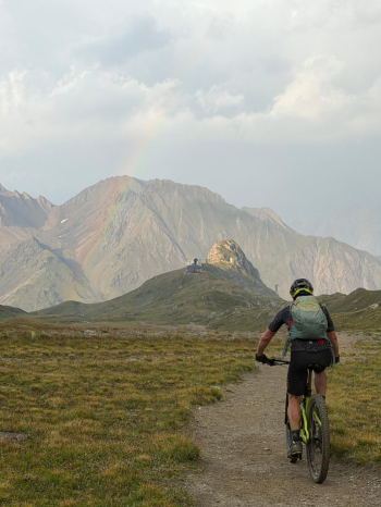
--and descend rapidly to Piano dei Camosci (2,100 meters). Then head quickly along a wide, off-road track toward Lake Morasco. If it’s gotten too late, follow the left side of the lake (as viewed from upstream), and take the paved road to quickly reach the starting point in Riale. Otherwise, you can follow the right side of the lake (as viewed from upstream), and at the end, descend in front of the dam and from there take the trail back to the starting point.