Italiano
 Deutsch
Punta dei Camosci dalla Val Formazza
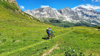
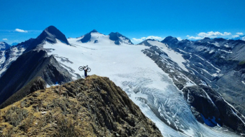
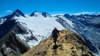
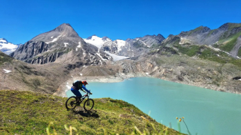
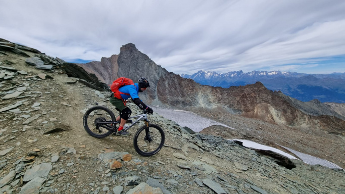
A classic, spectacular loop through Val Formazza where you can take in a wealth of lakes and reach one of the most sought-after destinations, Punta dei Camosci. Start from the Toce Waterfall parking lot; after a few kilometers on paved road, head straight up a nice, off-road-friendly trail that takes you to the Maria Luisa Refuge (in my route, I skip the refuge to climb immediately to the right and skirt the first lake of the day, the stunningly beautiful Lake Kastel). Then continue to the Toggia Dam bridge, cross it, and follow the dam’s edge to reach the San Giacomo Pass. From here, a stunning traverse winds above the Bedretto Valley, offering breathtaking views—a bit exposed but absolutely beautiful. After a few pushes to reach the Corno Gries hut, continue on and then climb up the wide meadows from which you can admire the Griessee and the wind turbines near the dam. You’ll reach the Greispass and take a short break at the bivouac. From here, the climb begins toward the Bettelmatt Pass and then up to the summit, pushing and carrying your bike. At a certain point, the slope becomes very steep and rocky, so it’s best to leave your bike and walk the last 100 meters to the summit. The views are fantastic, but remember to bring good hiking boots because the area is very exposed. Return along the ascent route to enjoy more downhill riding; the upper section is a bit rougher than it was a few years ago, while the lower section features breathtaking, well-maintained singletrack.
From the Griespass, you descend toward the Bettelmatt plain (rideable depending on erosion; S3 sections) and return to Riale. A great summer ride—by now there are just a few patches of snow that don’t get in the way on the descent.