Italiano
 Deutsch
Rappental da Bellwald

A magnificent route through an uninhabited Alpine valley. We start from Bellwald and take a gently sloping dirt road toward Niederwald. At a chapel, we leave the road and take the trail, which crosses the road again shortly afterward before descending steeply toward the Rhône Valley.
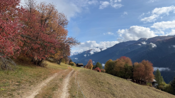
It’s a beautiful S2 forest trail with two short S3 sections that are somewhat exposed on the right, where we might need to push our bikes. We arrive at the valley floor, cross the cantonal road, and then the Rhône, switching sides. We continue with several ups and downs along a dirt road until we reach Ernen. Right at the entrance to the village, we turn left to begin our climb of the day on an unremarkable, traffic-free paved road—which leads to only one place: Alpe Frid, where we emerge from the woods and can admire the view.
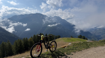
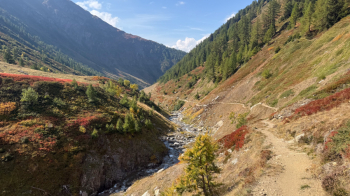
From here, the road becomes a dirt path and climbs gently through a mountain pasture, leading to the start of the trail that will take us back to Mühlebach: nearly 10 km of trail. Be careful, though: it’s closed until early to mid-July because the herds are guarded by Maremman sheepdogs and due to avalanches that haven’t yet melted. In July, the flocks move higher up, leaving the Rappel Valley open; to check the current situation, visit the federal government’s dedicated website, which features an interactive map. There should also be flocks and dogs in September. The place is spectacular:
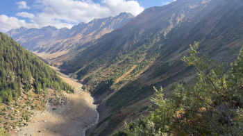
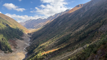
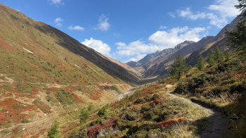
In the photo above, you can see on the right—on the grassy slope—the trail leading into the valley, which has been prepared for bikes and is fully rideable, and the trail leading out of the valley on the lower left, on the right bank of the stream. Up to the junction with the stream, the difficulty is S1. There are two stream crossings you’ll have to push your bike across because the trail has collapsed. Once you reach the footbridge, cross the stream; the first part of the trail is narrow and a bit more technical (S2). It’s a lot of fun—you’ll want to stop and take plenty of photos.
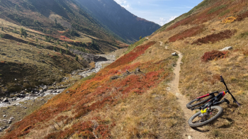
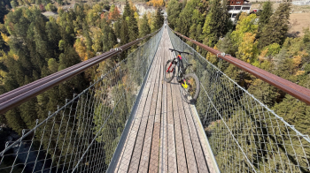
Once you enter the woods, the trail becomes fast and flowing again—a real blast. At Ober Äbmet, it gets steeper and more technical (S2) but remains a lot of fun. Once you reach Mühlebach, head to the Tibetan bridge, which takes you to the opposite side of the valley, directly onto the road leading up to Bellwald.
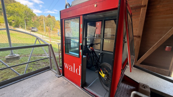
From here to Bellwald, it’s just a 300-meter climb on asphalt; the other option is to take the small cable car that runs from Fürgangen to Bellwald. I think it can fit a maximum of two bikes and two people. It runs very frequently or when it’s full.
In Bellwald, I highly recommend renting one of the many chalets with a view of the valley for an amazing stay. The 1,064-meter elevation gain does not include the ascent to Bellwald, which is done by cable car.