Italiano
 Deutsch
Cima del Bosco da Bousson
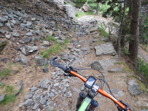
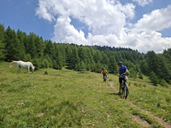
The route starts in Bousson at an elevation of 1,428 meters. It follows 4 km of paved road with an elevation gain of about 100 meters up to Sauze di Cesana at an elevation of 1,560 meters; cross the Albere Bridge and turn right. This is a wide dirt trail through dense, shady coniferous undergrowth with a compact, earthy surface covered in pine needles; the slope is consistently gentle, never exceeding 10%, on the north face of the mountain. In the final 200 meters, the vegetation thins out; after a very short, steep final push, you arrive at the chapel/shelter at an elevation of 2,376 meters, a well-known ski-touring destination accessible from two sides.
Return a few meters along the way you came and begin descending on a trail to the left—very smooth and flowing—all the way to the hamlet of Thures at 1,615 meters. Once you reach the dirt road just above Thures, turn left (east) and follow the road to the hamlet of Ruilles, cross the Thuras Stream, and continue toward Bousson, still on the dirt road with a few short, steep sections.
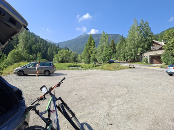
Start from Bousson
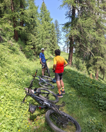
Final stretch through the woods
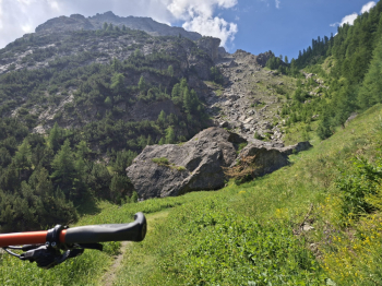
Final section
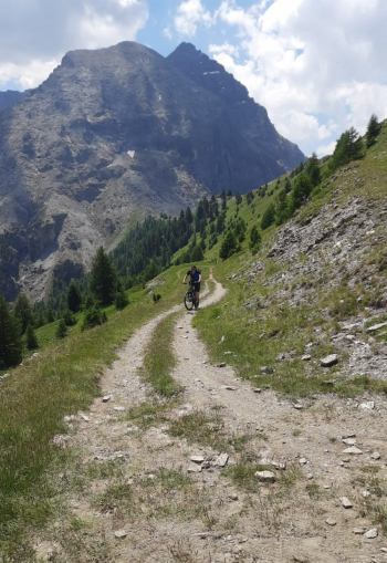
Steep, rideable section on the right
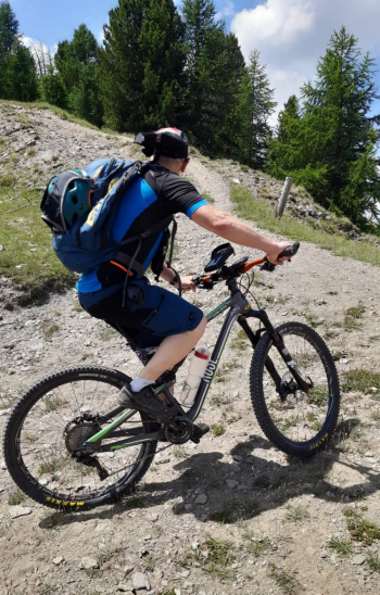
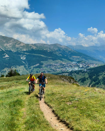
Edge of the woods
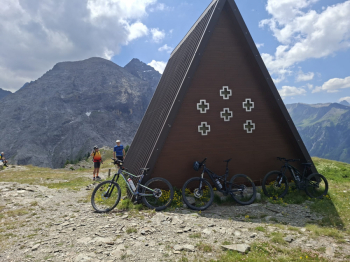
View of Monte Motta and Rognosa del Sestriere
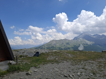
Idyllic descent