
 Italiano
 Deutsch
Monte Chaberton e Colle Bercia
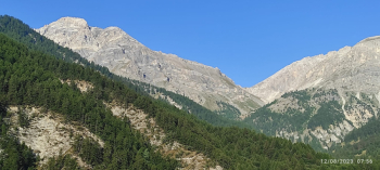
Fantastic and hard ride with arrival on the mythical Mount Chaberton: the road from Fenils, although officially closed, is now all passable. In the landslide section at Rio dell'Inferno, a narrow path has been made that allows passage on foot with a little care. The climb is 15 km long, starting from the creek at an altitude of 1240 and arriving at the summit of Chaberton at 3131 mt, this is what it looks like at the beginning of the climb.
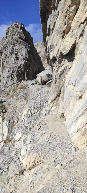
It starts on a dirt road with immediate gradients between 10 and 15% until Pra Claud, where there is a drinking fountain. Until km 5 it remains a dirt road then the slopes increase and the bottom gets worse, you pass carefully the landslide section then when you turn right the path gets much worse, very rocky, slopes between 15 and 20% but with the ebike you pedal even if with difficulty. You pass the rocky section of the rock cut on foot.
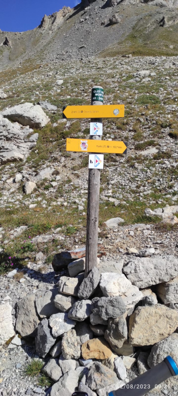
Then you arrive at the Clotes dei Morti sign.
From here to the Chaberton pass is the hardest section, you do several sections on foot, too much gravel, if you stop you have a hard time restarting.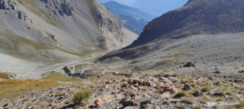
A picture of the road
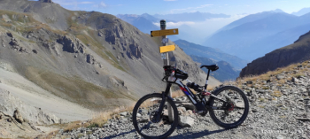
Chaberton Pass. We are now at 2690 meters and after so much effort it is still a long way to go to get to the top but the road is now much better and you pedal almost all the way to the top. 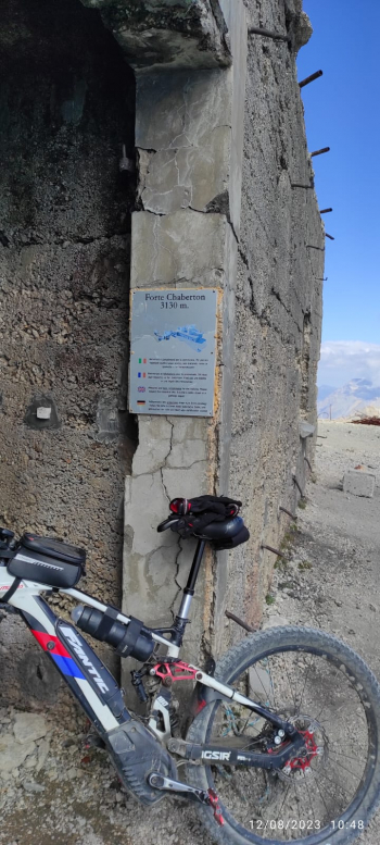
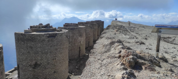
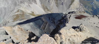
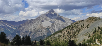
Some pictures of the leveled summit of the mountain with the remains of the 8 gun turrets. Now descent to Montgenèvre, same as the ascent to the pass, then a section on foot, then saddle up to the valley. Now dirt road to Montgenèvre then more dirt road and trail to Claviere. Now those who are tired go down the state road, it is already 2000 meters of very hard elevation gain, those who have it go up to Colle Bercia with a series of dirt tracks. You can admire Mount Chaberton in all its grandeur.
Now very long descent on dirt and gravel road to Cesana then asphalt to Fenils. This is a very hard but very satisfying ride, a trophy that cannot be missed by those who like to climb high.


