Italiano
 Deutsch
Ambin, Sommeiller Ronda (2 giorni)

The trail starts in Rochemolles and leaving a car in the valley.
DAY 1.
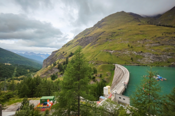
We leave early in the morning from altitude 1850 from Rochemolles. at that hour fortunately the cars going up to col Sommeiller are few, we pedal then on comfortable road in the beautiful valley, in 1400m in 20Km we are at the top. We stop in the beautiful Bivouac (m 3009 asl) where if we wanted we could have climbed the day before and spent the night.
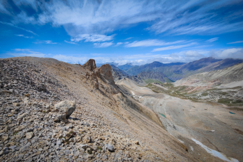
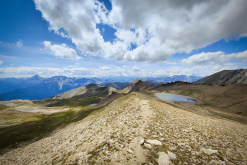
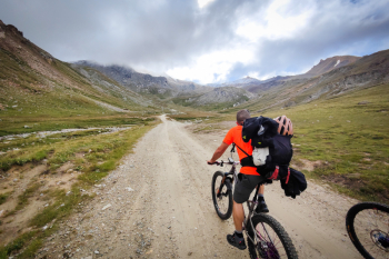
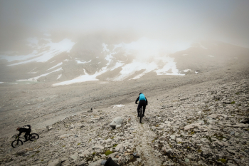
We get back in the saddle and climb over the pass, descending the Val d'Ambin with a Lac Noir stop, the descent initially is very nice. Pure S2 free ride on scree to Lac Noir.
The scenery is not to be missed, every now and then the fog clears just enough to make us eat our fingers from some we are missing, but we will make up for it the next day.
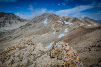
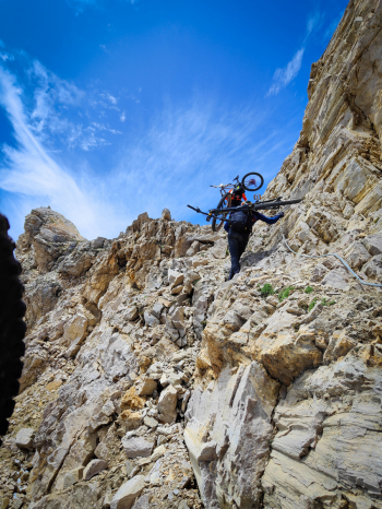
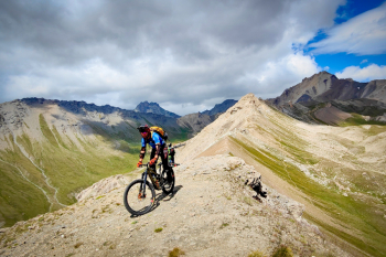
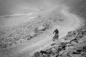
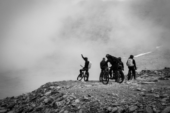
We arrive at Lac Noir, ride over spectacular moonshine knolls and continue on a trail that is not always clearly visible with a few non-bikeable but still beautiful sections (S4 with S5 sections). We reach the end of the descent at elevation 2300. Bikes on our shoulders, we have 700 meters to go to Ambin Pass. We pass by the beautiful Lac d'Ambin and then climb by a stretch of about 250 meters up a very challenging gully and not at all comfortable to do with the bike on the shoulder.
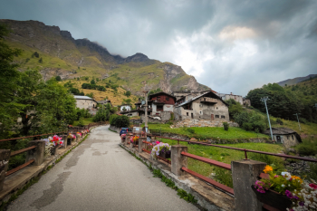
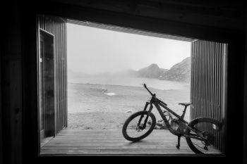
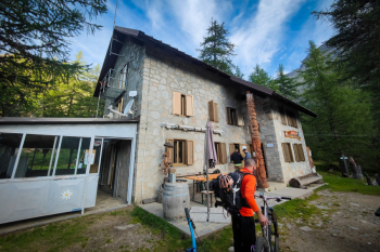
We arrive at the Walter Blais Col del Ambin bivouac (2900 meters) we go down a descent that is not very cyclable in the first 350 meters: an alternating of passages from S5+ to S5-, but that some non-humans I assure you managed to do. From altitude 2550 the descent becoming beautiful and increasingly manageable (S4 abundant S2/S3 on the final), we continue without too much enthusiasm to the Levi Molinari hut (1850 meters) to have a beer and spend the night.
DAY 2
The next day's plans were: to climb back up to Ambin, lengthening the loop quite a bit and passing by a T4 section that unfortunately we had not been able to assess the day before because of fog, or by the nuns' T2 trail to punta Galambra. The experience of the day before and not wanting to get to the cars at an absurd time made us lean toward the second solution. We set off from the refuge with the bike already on our shoulders, 1250 meters of ascent await us, we climb a very nice trail (which apart from an exposed section could be a nice descent); some people have a brisk pace and some less so we find ourselves at Bivacco Mario Sigot to shelter from the icy wind. We continue past moonscapes and barracks from the Great War.
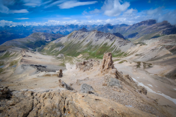
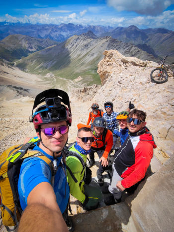
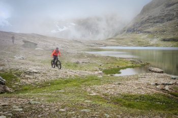
Wanting to go up to Sommeiller and Ambin, someone is cooked and we aim directly at Punta Galambra (3120 meters), show! We continue to Vallonetto where a short exposed but equipped section puts someone in difficulty, at Vallonetto (3220 meters) another exaggerated view! We traverse a midslope section of about 150 meters where the usual non-humans manage to bring home a few passes. At an elevation of about 3100 begins a spectacular S3/S2 descent on lunar bottom. We continue to Vin Virt, and then on easy S1 to the road below, continue on beautiful S2 enduro style trails with a few S3 passes passing by the former chalk quarries and in about 1000 meters we are in the valley nice and full of adrenaline.
Trail style: all mountain
Personal rating: views 9/10; descents 8/10
MTB: Yes
EMTB: No
Duration about 2 days
Portage: 2200m
Difficulty ascent: the 1400m that can be pedaled is all done comfortably, rest on shoulders
Difficulty descent: Day 1 50% S3/S4 ; 20% S5+ ; 30% S3-4
Exposed: Sections also very exposed, see description
Draining: YES
Water points: Rochemolles, a few streams going up to Col d?Ambin, Rif. Molinari, a few streams going up from the nuns