Italiano
 Deutsch
Grosté

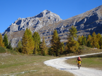
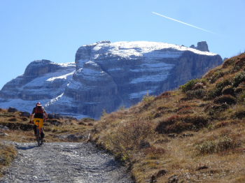
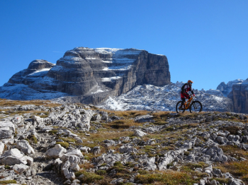
Description of one of the most beautiful routes you can do in Val Rendena. The start is from the capacious parking lot in front of the Pinzolo ski lifts. On secondary asphalt road closed to traffic we reach Sant'Antonio di Mavignola. Next, on a road that becomes unpaved, we arrive at Madonna di Campiglio where we turn right until we reach the Campo Carlo Magno ski lifts. We alternate between a stretch on a dirt road and a path in the woods with a push bike due to the presence of roots until we intercept the road that climbs with hard ramps to the Graffer Refuge. From Rifugio Graffer to Rifugio Stoppani there are several pushing sections due to steep slopes and uneven ground. A few more meters and we are at the Grostè Pass.
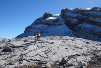
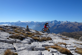
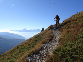
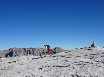
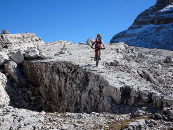
If you don't like to push or carry your bike go back to Graffer Refuge, but if you want to enjoy the white limestone slabs of Grostè continue to the Grostedì trail intersection. From here descend on the slabs always keeping an eye on the trail and the red and white signs. Do not get distracted as there are dangerous micro crevasses. Here it is no longer mtb but we enter light cycloalpinism. We descend to intercept the trail coming from Rifugio Tuckett and in no time we are back at Rifugio Graffer. Just below starts the beautiful trail that descends into Vallesinella in the presence of the Corna Rossa walls. The trail is stupendous all S2 with short S3 sections to be followed always with the utmost care.
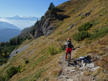
We reach Malga Vallesinella Alta and then descend to the Vallesinella parking lot. We descend again until we pass the Cascate di Mezzo and take the beautiful trail known as the Arciduca. Turn sharp left and another nice trail that descends to the former Brenta nursery. Follow the trail to Sant'Antonio where you will reach Pinzolo using the technical trail that cuts the paved road made on the way up.
If the weather is not at its best avoid this route. We are in the Adamello Brenta Park and some sections of the trail are off-limits to bikes; do it on foot and especially don't do it in the summer months because of the high presence of hikers. If the lifts are closed you will find very few hikers you should always give way to. In the photoreport we started from Sant'Antonio di Mavignola to decrease the elevation gain by about 300 meters where, however, parking is scarce. More information and photos can be found in the photoreport.