Italiano
 Deutsch
Cima Rest Gusaur

This MTB excursion starts from Molino di Bollone in the Valvestino valley partially incorporated in the Alto Garda Natural Park. It proceeds on provincial road 9 past Turano and Magasa on a strip of asphalt inserted in a delightful rocky and vegetation context. After having covered about 9.5Km and 500 meters of positive elevation gain at the fork we keep left ignoring the signs for Cima Rest and proceed energetically toward the Denai Pilaster localities.
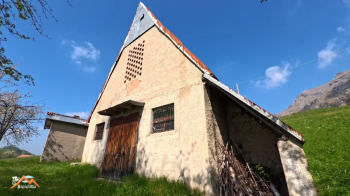
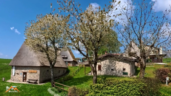
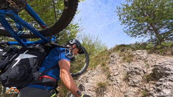
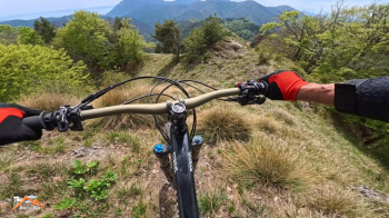
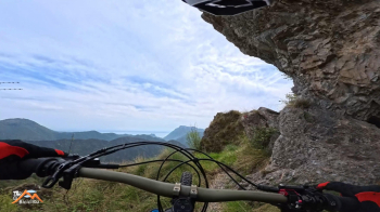
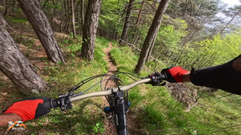
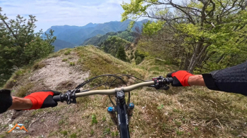
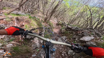
Now the ground becomes first cemented then dirt and we can admire the magnificent rural buildings characteristic of the area. We continue on the dirt road bypassing the wide amphitheater enclosed by the Tombea and Caplone peaks that will lead us to the beautiful Borgo di Cima Rest. Past the astronomical observatory a short but sturdy climb awaits us, to be covered by pushing bikes, then the trail flattens out and we are soon at the junction for the summit of Mount Gusaur. A ridge that is never difficult, grassy but strenuous as it is undulating, definitely the most challenging segmented. We return by the ascent route but except for a few short climbs the whole thing is decidedly more enjoyable until the trail we left earlier and now take again. The marked trail that follows is characterized by easy sections but with a few passages that I could not close in the saddle, passages of only a few meters. The rest of the trail to the Costone trail is just fun.
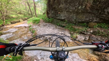
The Costone trail, 6.4 km long, besides being endless, is (of course, otherwise we would be going to the underworld) for lungi stretches flat with frequent gentle climbs, ending right near the start at Molino di Bollone. This time I opted to interrupt it after 2 km by descending to the valley floor via Cuel del Zanzanù, it is the solution I prefer as it is a picturesque place and simple but fun descent even if it provides at the bottom of the valley a return to the car with a greater stretch of road, but again a minor thing. Outing except for a few passes to bike alongside I would say of moderate difficulty but much, much fun.