Italiano
 Deutsch
Monte Stino e Mandoal

Back to Mount Stino to tackle perhaps the most technical and hardest descent to the Eridio. We will tackle it in a new edition where you will have the opportunity to move your limit by calculating millimeter by millimeter every technical passage.
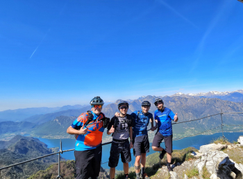
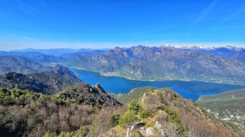
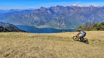
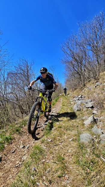
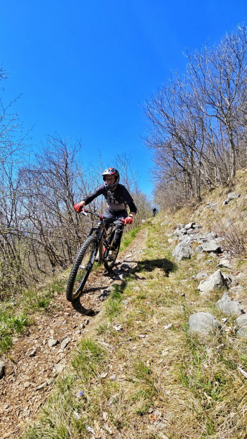
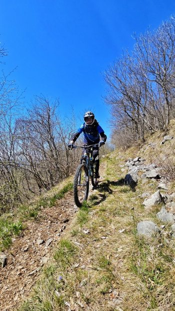
The start is near Parole just after Vantone. A first transfer to the beginning of the climb immediately with good gradients until we intersect the asphalt road. We continue towards Passo San Rocco then Zumiè and finally the final stretch always paved towards the famous Rifugio Monte Stino and stop for a regenerative stop. Lucia and Daniele will know how to make me feel at home. We continue up to the viewpoint for the photo of the day and then back towards the refuge: just before we deviate to the left in pure freeride style and the first part of the descent begins with wonderful views of Lake Idro. The first section will be very fun with a never-too-difficult trail made of nimble switchbacks and flow. Once we reach the detour to the right in the Ronchet area let's get ready for the Mandol proper. Local rumors seem to confirm that the trail is so named because in dialect the word MANDOAL literally means: But where does it go? Precisely because it is a very difficult trail. Well, that being said, I anticipate that you will also find some foliage. The trail starts steep right away with a very hard gully, then it settles down and with roots, tolerable rocks and a little mild flow will take you to the middle part. Here firm, large rocks with millimeter steps will engage you in no small part. Past this section we return to the mean and flow the bike with one last fast and then steep section to the lake road.
RECOMMENDED ROUTE FOR MOUNTAIN BIKE and/or E-BIKE ALL MOUNTAIN.