Italiano
 Deutsch
Monte Carzen

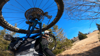
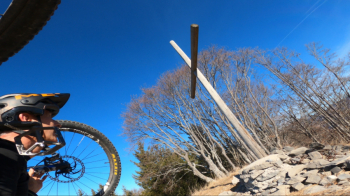
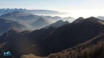
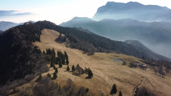
Yet another exciting cyclo-mountaineering tour mined from the thriving mine that is the Valle Sabbia! Mount Carzen, a watershed between Valle Sabbia and Valvestino in winter mode (the tour in its entirety starts from Azur Sportcamping on the shores of Lake Idro and the last section of the return trip involves the Camisino trail). It starts from San Rocco Capovalle where, at the votive shrine, there is a place to park the car. We start immediately on a dirt forest road and in 400 meters of elevation gain and 5 km we are at the Los barns. We leave the comfortable road and bend sharply to the left passing in front of the barns. The climb changes level, it is decidedly more challenging to the point that in the meadows we no longer pedal it, so for a short stretch we push on, all contained in 150 meters of elevation gain. A rustic wooden cross greets us, we are on top of the Carzen, excellent views.
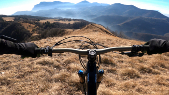
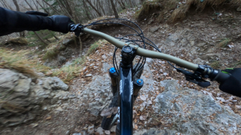
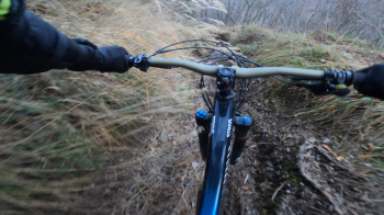
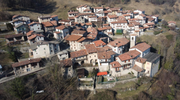
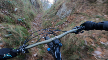
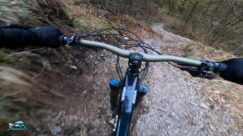
The descent begins, first over meadows with faint trail and steep segments all the way down to the Vesta di Cima Pass. At the pass a sign tells us that that was the old border with Austria. We now descend on fun flow trail keeping to the right at the first and only junction towards Bollone, one of the 7 hamlets that make up the municipality of Valvestino. The nice flow path soon changes to pissed off but still for lovers of the genre very fun until Bollone.
Beautiful and exciting the crossing of the now desolate hamlet, until we enter at its edge the Orti path that with much fun leads us down, in the Valle dei Mulini. End of the fun, now we have 250 meters of uphill climb to return to Capovalle and the car.
Beautiful tour, never trivial and very satisfying.