Sentiero Gelindo Bordin e borgate di Cesana Torinese
Park in Rollieres, in the clearing to the left of the entrance sign to the hamlet. After a few meters on the state road, cross the bridge (trail 617 straight over the bridge is known to ski mountaineers to lead to Cima del Bosco) and follow the trail to Sauze di Cesana, about 5 km of false level with some interruptions due to summer flooding. The asphalt section begins after Pont Terrible for about 5 km, cross Sestriere and at the beginning of the descent take the uphill road to Col Basset. After about 2.5 km of wide dirt road with magnificent views of Sestriere and Monte Banchetta on the left a marker indicates Gelindo Bordin trail 615. The trail is about 9 km long and is a balcony between Mount Fraiteve and Mount Rotta.
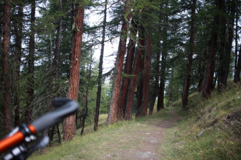
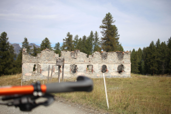
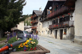
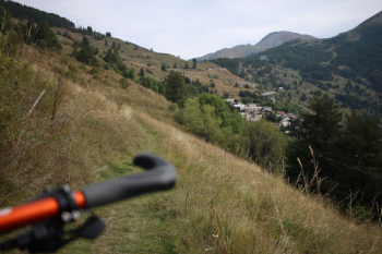
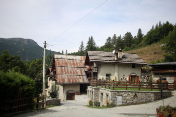
It is perfectly maintained with wooden drainage channels, alternating sections in the magnificent vegetation with stone pines and compacted soil with open parts and a few pebbles on the path. You then descend on trail a bit hollowed out by rain and with more sections of trail you reach the remains of Fort Seguin. Wide winding dirt road to Champlas Janvier from which trail in the grass on the midslope leads to Champlas du Col. From here trail 616b downhill to Rollieres, a bit grassy, but little compared to the seasonal average 2024. In addition to the views, the hamlets Champlas, some roofs still made of wood can be seen, and Rollieres are noteworthy. In total 27 km, difficulty MC/MC, 860 meters of elevation gain in 4 1/2 hours including photo stops.
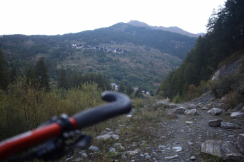
Trail to Sauze di Cesana with the breaks.
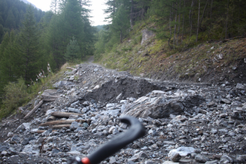
Panorama, ascending on asphalt to Sestriere
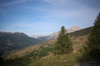
Bordin Trail, culverts
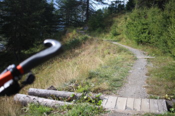
Bordin Trail, view of Sestriere
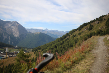
Bordin Trail
Seguin Fort
Champlas Janvier
Trail to Champlas du Col
Rollieres


 Italiano
 Deutsch