Italiano
 Deutsch
Niardo - Cimbergo trails

We present a very intense tour both as ascents and descents to introduce you to Cimbergo, where you will find magnificent trails in a fantastic location. In the middle of Valcamonica, the land of signs that will remain with you.
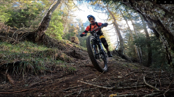
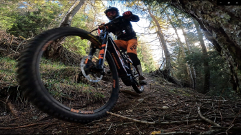
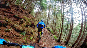
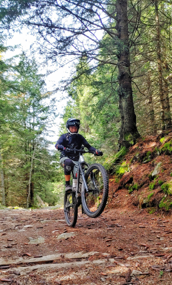
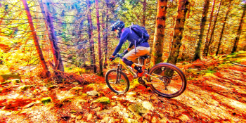
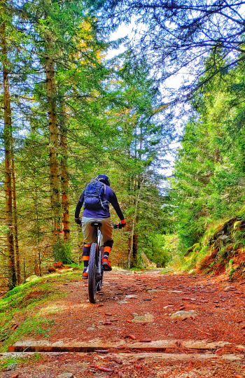
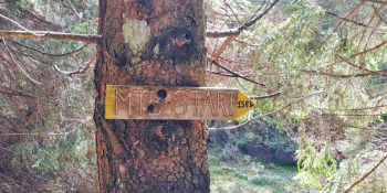
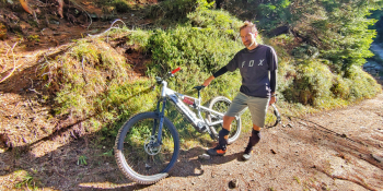
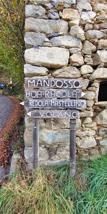
Departing from the sports field of Niardo, we climb in that of Cimbergo. Now the succession of the Trails we will do will be: RED - ORANGE - YELLOW and FALESIA. Just beware that in some places we will pass two of them. From Cimbergo we will keep the signs for the Volano refuge, which we will reach with a steady and I would say scenic climb. From the refuge we will move to the transfer section for the Red Trail: all in undergrowth among firm stones sprinkled with moss and super grippy loam but also intoxicating pine forest scents. When we reach the road we resume climbing this time more intensely to return to the Volano then continue to the entrance of the ORANGE Trail. Downhill again and this time we will also have vertical but flowing sections and a passage between waterfalls and stream to do with the bike in hand before finishing in that of Cimbergo again. We will now go back up the first climb to Volano again then the turn-off for the Yellow trail. Undergrowth, some rock and a vertical soapy section on smooth rock before ending on smosso and flow near the village. When you are in Cimbergo now begins the FALESIA trail: a scant 3 km of trail some undergrowth some open but nothing overly complicated all the way to Niardo. The sense of execution of this tour is as I anticipated above. If you want you can also start directly from Cimbergo but you will miss the final trail. It is clear that you can change the order of the descents as you see fit. In the end you will be happy, I am sure.
RECOMMENDED ROUTE FOR MOUNTAIN BIKE and/or E-BIKE ALL MOUNTAIN.
NB: At the time of inclusion this ride is all doable without any particular problems. We disclaim any responsibility for any inconvenience due to lack of maintenance of the trails or deterioration of the same due to external agents and / or natural and a wrong assessment where the tour.