Italiano
 Deutsch
Bienno, Valdaione, Giogo dela Bala, Crestoso Pass, Val Gabbia
Super AM ride in the Brescian Alps in a unique environment with colors like impressionist paintings.
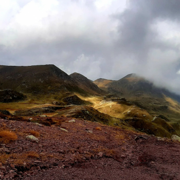
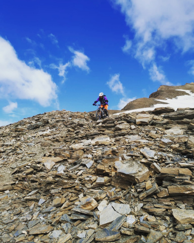
Long climb, very steep but very satisfying, needed leg and good training (of course I am referring to mtb without electric help) to overcome the many ramps that from 400 meters of Bienno lead to 2135 of Giogo dela Bala (top of the day).
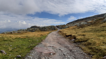
This is followed by a long transfer at high altitude with a nice stretch of single track that passes by Sette Crocette and ends at Passo del Crestoso, 2000 m.?
Equally long descent, fun, at times Hard Rock, physical, at times smoother but always technical where good riding qualities are needed. The only downside is a section of forestry that you have to inexorably ride but don't worry, the trail binge is guaranteed.
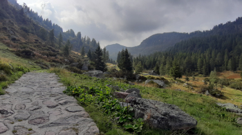
Departing from Bienno (parking lot at the traffic circle at the beginning of the village), go up through the ancient, beautiful village, towards Isola and then Sesa di Sotto. Once past this village, continue, leaving Val Grigna for Val Travagnolo. Crossing a wooden bridge the slope of the ramps becomes even steeper, at a fork you keep right entering Valdaione. You climb it all the way up to Giogo dela Bala, at m 2135. A few meters of descent lead you to cross the asphalt Maniva ? Crocedomini. Follow it to the right, passing under the radar of Dosso dei Galli, until you circumnavigate the summit of Dasdana.
At the hairpin bend to the left, continue straight on a dirt road that leads to Goletto di Gludona, where the beautiful single track that leads to Sette Crocette begins. Now continue along the northern slope of Crestoso to the pass of the same name, at 2000 m.
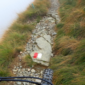
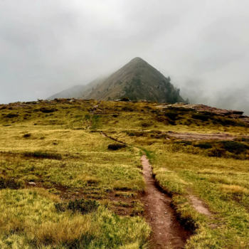
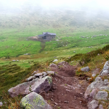
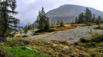
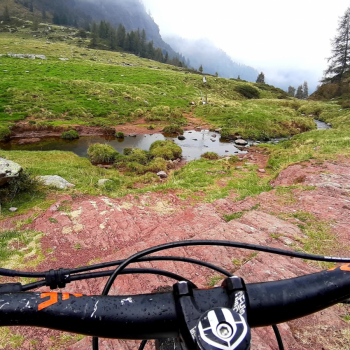
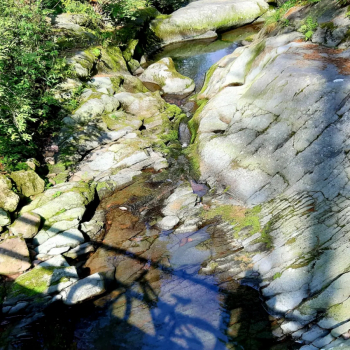
Here begins the descent, at first very rocky and then exciting to the Niche of San Glisente. Keeping to the right, one plunges into Val Gabbia. The first part of the trail to the hut below has recently been settled and made much smoother. From below the malga the going gets more sustained, between grass and multicolored boulders, very nice a placconata that you can walk on the side of the path.
Near the next alpine hut, during grazing periods you slalom through cattle droppings. With one last technical but not overly so, the Val Gabbia trail ends at a traverse that leads to Campolungo. You follow it for a stretch until you spot on the left the trail that descends to the Berto bridge. Cross the bridge and climb briefly, be careful at a fork in the trail; do not follow the uphill red and white markings to the left but continue keeping to the right. The trail ends by crossing the Val Grigna forest road, which you follow to the left for a long stretch, first flat, then downhill.
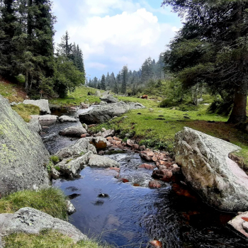
Near a fountain, shortly after, you will spot on the right the beginning of a path, marked with a green arrow. When you reach a meadow, follow it along the right edge to the bottom, where, again on the right, the last exciting path starts, technical with somewhat exposed sections. After an easy flat section, pay attention to the last detour to the right that leads to a kiosk by the creek where the games end. The asphalt, near the first houses of the village leads shortly to the starting point.