Rifugio Gemelli - Roncobello
Epic bike tour with spectacular views! The proposed trail has a major elevation gain of 2100 meters but is reducible to 1800 by descent or variants. Very physically demanding ride with many push and shoulder pieces. This tour has the part up to the Gemelli refuge in common with this one, but in this case it descends to Roncobello. Start from Isola di Fondra, pedaling through Branzi with part of the ride passing a beautiful waterfall and then continuing to Carona. Here begins the cemented carrale road that with very challenging gradients takes us into the beautiful valley of Carona, continue to the Calvi refuge (eventual stage that I avoided so as not to add more elevation gain).
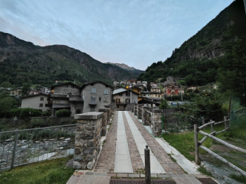
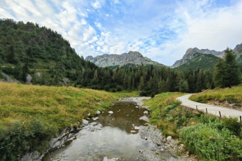
Now helmet on head because after a short descent, a beautiful linkage awaits you that will take you away towards the Gemelli refuge.
It starts with a beautiful traverse that is all pedalable with several technical passages that never get boring. After about 100 meters of not overly challenging push/shoulder ride you arrive at the Sardegnana pass. Protectors on we launch ourselves on a beautiful trail that in 150 meters will take us to Sadegnana Lake.
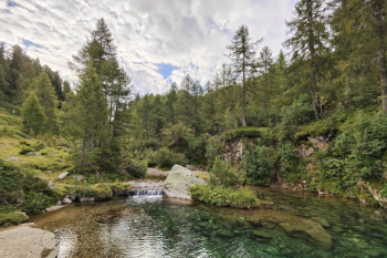
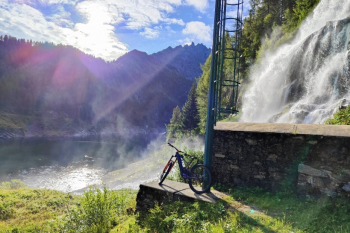
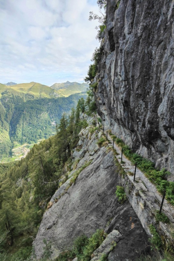
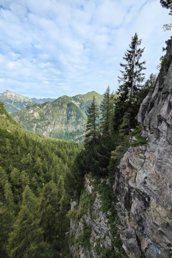
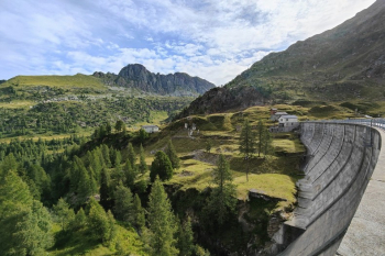
You cross the dam and here low saddle, trail 213, this is a trail largely carved out of the ridge, very beautiful, scenic, overhanging. The trail is protected with a steel rope handrail which could however be loose in some places, best to avoid relying on it with the proper attention of does but I personally happened to pull up one hanging on the rope from the opposite side who took it too lightly so low saddle and maximum concentration. Alternatively hand bike that after 15minutes you can go back to pedaling without these risks
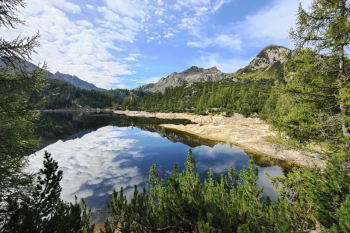
After a few meters push you arrive at Marcio Lake with moon style rocks. Continue with technical climb to the Gemini Shelter.
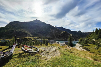
Now the ride continues with descent on Roncobello, then push up to Mezzeno Pass descent from Mezzeno Pass to Mezzeno huts (the descent is a S4/S5) halfway down you can also continue to the Roccoli trail to descend from Baita Monte Campo or Roccolo del Verroppio
Alternatively, you could also consider one of these variants
- From the Gemelli pass down to Alpe Corte and then up to Branchino this trail (not very rideable, you add many meters of elevation gain but you can enjoy the beautiful descent from Branchino).
- From the summit papa giovanni very uneasy descent from Marogella
- Looking at the maps there would be 2 possibilities but to be tried and evaluated very carefully before being done, from the Gemelli pass there seems to be a track that connects to the southwest still on trail coming down from the mezzeno pass avoiding the rocky part. After ascending 70 meters past the Marogella you descend into meadow to connect with the ascent from Alpe Corte.
From the parking lot just below the Mezzeno huts two unmissable and beautiful trails maintained by locals begin. Grumello Trail (technical, very rocky). Trail del Barca (very nice, slightly less technical, but with with some sections that need attention). To close after a section of gippable you take the trail down to Caprini, climb 70 meters (or take the flat road just below) to get to Vendulo. From here if you have more you can detour to punta Baresi and just nearby to see the Giants' potholes of the Cornacchie gate. Or take directly the beautiful descent to Isola di Fondra. Various water points up to 1500 elevation, then to the Gemelli refuge and the Mezzeno huts parking lot.
Trail style: AM
Personal rating: views 10/10; descents 9/10
Biking: Medium-High
MTB: Yes
EMTB: Only if you are not afraid of shouldering/pushing
Duration about 8-10h
Portage: Yes Very.
Difficulty climb: Challenging
Difficulty descent: Mostly S3+/with many sections S4
Exposed: Up to the twins yes but protected, then there may be sections where you have to be careful
Draining: Yes
Water points: Isola di Fondra, Branzi, Pagliari, Rif.Gemelli, Baite di Mezzeno


 Italiano
 Deutsch