Pratella Stovano
A must-ride descent in Valchiavenna, one of the few without mule tracks and with room to let the bike go, of course bad, exposed pieces with diabolical gradients are not lacking. It is one of the descents that area riders do at least once a week, not very long but rewarding, recently the second part from Stovano down to Berzo has also been fixed,
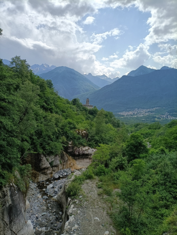
It starts from the church in Prata Camportaccio, climbs briefly to the bridge where we find the signs for Stovano and Pratella. Arriving at the barrier the consortium road begins, we will find asphalt and bitumen and a very physically demanding climb, the average gradient is around 14%. We pass the ancient cores of the villages of Stova all'Orlo and Stovano, from Stova all'Orlo the most challenging hairpin bends begin with peaks of 25%, but calmly and patiently we continue on a road always shaded by plants.
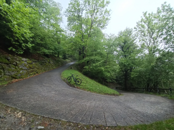
When the road begins to descend at the first bend we will find a CAI sign indicating Mezzacosta-Berzo trail, we take it and arrive at a picnic table, from here the descent trail will begin.
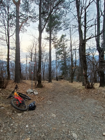
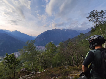
The first part of the descent is very fast with dirt and outcropping stones, then the gradient becomes significant and the forest opens up with a nice view of Chiavenna and the lower Valchiavenna. This is the most arduous part of the trail, you need excellent technique and concentration, it tests you with hairpin bends, boulders and roots, there is a point where to pay maximum attention with a double hairpin bend on exposed boulders, you need to have very good trialist riding skills to be able to pass it safely.
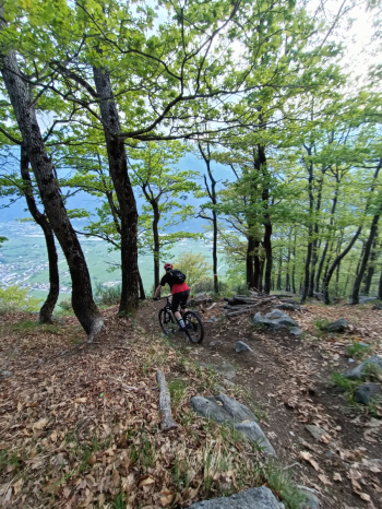
Passed this point the path continues to the right, we ignore the fork that we find after a boulder droppettino and continue straight on a traverse that can be tackled with a good speed, after a hundred meters in the woods we pay attention to the path that turns to the left, indicated by the CAI sign towards Berzo, this is the second part of the path softer and smoother but very fun.
There are several rock gardens, roots, parabolas, natural drops and a few jumps made from the boulders present, this part we have recently fixed up
Passed the small valley of a creek, after a short straight we will find a dry stone wall and turn decisively to the left, after a depression of the creek we must keep right for the final part that leads us to the village of Berzo. Here we will ascend briefly until we return to the Prata church. Fountain present only at the church and at the end of the descent in Berzo


 Italiano
 Deutsch