Sentiero 500
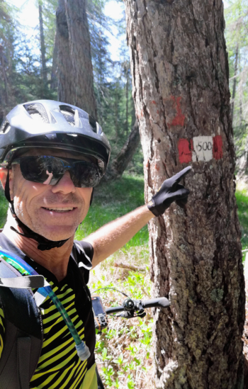
Trail 500, on the border ridge between Alto Adige and Trentino.
A ride I had researched many years ago, about 100 km and 4000 meters of elevation gain on trails, but never done because it was too challenging to do in a day, given the long sections to be done pushing the bike. Then last year my friend Emil suggests it to me, saying that on an ebike you can ride just about anything.
The right day arrives, I just got in shape with two three-thousanders, but Emil tells me he has too many commitments right now and can't make it.
I study the route well and decide to start from the lowest point, so that there will be a lot of uphill at the beginning and a lot of downhill at the end. I then leave from St. Michael in Eppan at 5:30 a.m. and immediately enjoy a beautiful sunrise.

And then up, actually up and down, this is the ride where I have done the most up and down in my life! As soon as you go up a little, then you go down a little more and same thing on the descent, as soon as you go down then there is to go up again. Really challenging and stressful, the ebike helps but today it's a matter of concentration and head!
At 9 o'clock, after 1500 of elevation gain, I make a first stop, strudel and cappuccino for me and half an hour charge for the battery.
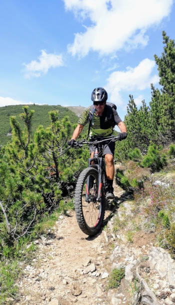
And off up and down, Lake Tret, Mt. Macaion, Mt. Penegal and super technical descent to Mendola Pass.

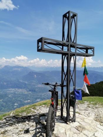
50 km and 2800 elevation gain, time to recharge my batteries and those of the bike. Three quarters of an hour stop for lunch and off to the highest point of the ride, Mt. Roen, with fantastic views.
Psychologically, the bulk is done, but there is still at least 500 meters of elevation gain left on trails that are not easy, so off we go, up and down, up and down.
With the ebike, while kept mostly in eco, you can pedal even on normally impossible climbs, and that is a big plus.
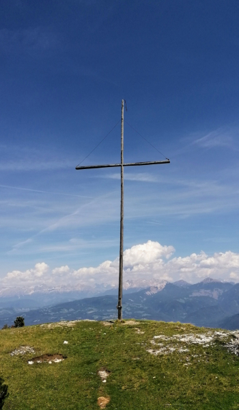
I arrive at the Favogna saddle, from here (almost) only downhill until the end, fortunately because the battery is running out.

Then off downhill, but as usual I still find uphill. I had calculated that I should do 3500 meters of elevation gain, but we are already at 4000 and the finish is still far away.
Running out of battery, I do the last 20 km and 200 meters of elevation gain pedaling 25 kg of bike, never done such a thing!
But the motivation is a wonderful thing and then I am happy thinking that my physical condition is on track!
At 5:30 pm I am at the car, just 12 hours, 100 km and 4200 meters of elevation gain.

Long and tiring but beautiful and scenic ride, with challenging but fun trails both uphill and downhill, completely rideable by ebike.
One more 20-minute battery stop would have sufficed, but the last hut was closed.
Bulls ebike, Brose motor, 625 battery.


 Italiano
 Deutsch