2023/02/26 10:14:31
Val di Funes sulla neve con varianti
Author
Place
Italy - Trentino-Alto Adige/Südtirol, BZ
Km
18,78 km
Elapsed time
05:29:43
Vertical meters
+820 mt (1372 - 2075)
Route difficulty
Landscapes
Last update
2023/12/04 13:56:40
Comments
Description
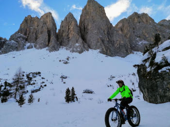
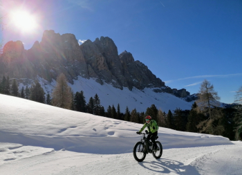
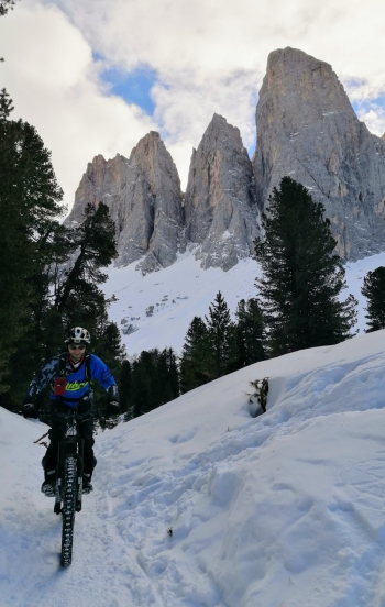
Fantastic fatbike route all on #snow, not very long but very fun and with spectacular views of the Odle.

You climb up to the Geisler Hut. From here you follow the Odle trail or Munkelweg. Be careful, the trail is very popular with hikers; it is strongly recommended not to bike on Sundays and holidays. At the end of this trail, instead of going down to the Zannes hut and then back up, we can follow the direct path slightly uphill to the Gampen hut. Be careful, walk this path only if it is well beaten.

From the Gampen hut, after a good typical refreshment, descend to the parking lot with still a fun trail.
You can also ride with regular bikes or ebikes if the snow is now old and well groomed.

Local weather

°C

°C

°C

°C

°C

°C
Graph
Nearest Routes
24,88 km
Km
+1 140 mt
Vertical meters
Route difficulty
Landscapes
2022/10/17
- Italy - Trentino-Alto Adige/Südtirol, BZ 44,29 km
Km
+1 794 mt
Vertical meters
Route difficulty
Landscapes
34,35 km
Km
+1 288 mt
Vertical meters
Route difficulty
Landscapes
36,85 km
Km
+1 250 mt
Vertical meters
Route difficulty
Landscapes
54,04 km
Km
+1 320 mt
Vertical meters
Route difficulty
Landscapes
44,97 km
Km
+1 590 mt
Vertical meters
Route difficulty
Landscapes
19,26 km
Km
+966 mt
Vertical meters
Route difficulty
Landscapes
2024/09/18
- Italy - Trentino-Alto Adige/Südtirol, BZ 44,65 km
Km
+2 000 mt
Vertical meters
Route difficulty
Landscapes
2023/02/26
- Italy - Trentino-Alto Adige/Südtirol, BZ 37,25 km
Km
+1 350 mt
Vertical meters
Route difficulty
Landscapes


 Italiano
 Deutsch