

 Italiano
 Deutsch
2024/09/18 14:24:23
Giro del Sassolungo e Sassopiatto (ebike)
Author

Place
Italy - Trentino-Alto Adige/Südtirol, BZ
Km
44,65 km
Elapsed time
07:20:56
Vertical meters
+2 000 mt (1419 - 2314)
Route difficulty
Landscapes
Last update
2024/09/18 20:27:59
Comments
Description
Tour of Sassolungo and Sassopiatto, a mouth-watering classic that we did again after many years, this time with some tough e-bike variants going up Ciampinoi.
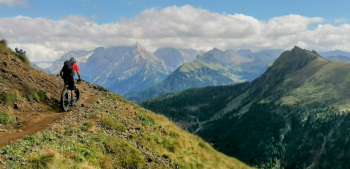
The views of the Dolomites remained the same, always a unique sight.
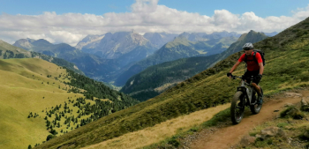
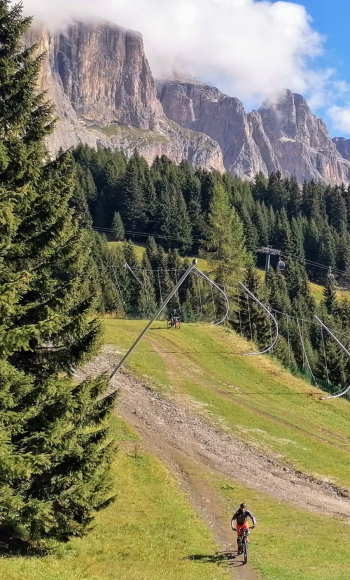
From Selva val Gardena we climb to Ciampinoi with a very steep finish on the ski slope, then through the town of Sassi to the Sella pass. Descend to Canazei on trails designed especially for bikes, then from Campitello up to Passo Duron with very steep sections, from here to Rif. Sasso Piatto (best out of season and not on Sundays due to the presence of many hikers), then descent to Monte Pana and nice trail to Selva.
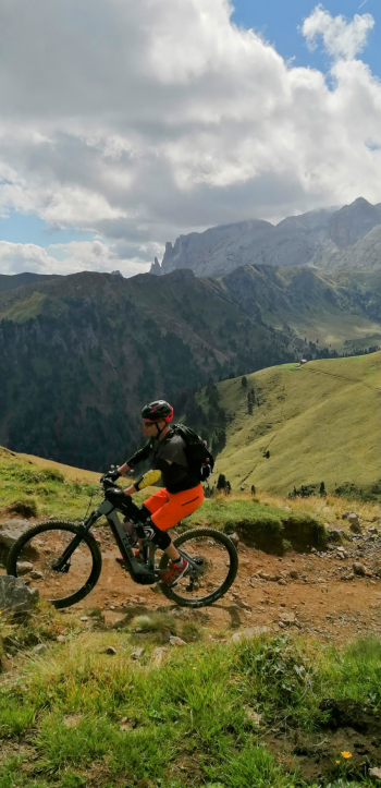
Depart from Pozzamanigoni where you can eat and drink a good beer at the riding stables restaurant.
Local weather
Tue 00:00

5 °C
Tue 12:00

9 °C
Wed 00:00
8 °C
Wed 12:00

11 °C
Thu 00:00
7 °C
Thu 12:00
3 °C


Graph
Nearest Routes
44,97 km
Km
+1 590 mt
Vertical meters
Route difficulty
Landscapes
58,55 km
Km
0 mt
Vertical meters
Route difficulty
Landscapes

59,44 km
Km
+1 020 mt
Vertical meters
Route difficulty
Landscapes
64,78 km
Km
+370 mt
Vertical meters
Route difficulty
Landscapes
2023/02/26
- Italy - Trentino-Alto Adige/Südtirol, BZ 37,25 km
Km
+1 350 mt
Vertical meters
Route difficulty
Landscapes
2024/06/01
- Italy - Trentino-Alto Adige/Südtirol, BZ 51,53 km
Km
+2 800 mt
Vertical meters
Route difficulty
Landscapes
51,53 km
Km
+2 551 mt
Vertical meters
Route difficulty
Landscapes
43,35 km
Km
+2 300 mt
Vertical meters
Route difficulty
Landscapes

33,18 km
Km
+1 910 mt
Vertical meters
Route difficulty
Landscapes