
 Italiano
 Deutsch
2022/10/17 18:42:31
Odle, Rif. Genova and tour of Sass de Putia
Author
Place
Italy - Trentino-Alto Adige/Südtirol, BZ
Km
44,29 km
Elapsed time
09:38:16
Vertical meters
+1 794 mt (1325 - 2322)
Route difficulty
Landscapes
Last update
2022/10/17 18:59:49
Comments
Hotels
Description
Start from the parking lot at Malga Zannes, climb up Val di Funes to Rifugio Genova with challenging inclines at times. Then beautiful descent to the trail that goes around Sass de Putia. Caution in summer also very popular with pedestrians.
We arrived at Passo delle Erbe and between asphalt and forestry to Santa Maddalena.
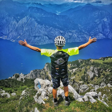
Return on asphalt to Malga Zannes and from here we climbed up to Rifugio delle Odle just for the fantastic views
Local weather
Thu 00:00

13 °C
Thu 12:00

19 °C
Fri 00:00
15 °C
Fri 12:00

18 °C
Sat 00:00
13 °C
Sat 12:00
19 °C
Graph
Nearest Routes
36,85 km
Km
+1 250 mt
Vertical meters
Route difficulty
Landscapes
34,35 km
Km
+1 288 mt
Vertical meters
Route difficulty
Landscapes
24,88 km
Km
+1 140 mt
Vertical meters
Route difficulty
Landscapes
2023/02/26
- Italy - Trentino-Alto Adige/Südtirol, BZ 18,78 km
Km
+820 mt
Vertical meters
Route difficulty
Landscapes
28,18 km
Km
+1 467 mt
Vertical meters
Route difficulty
Landscapes
33,18 km
Km
+1 910 mt
Vertical meters
Route difficulty
Landscapes
14,28 km
Km
+900 mt
Vertical meters
Route difficulty
Landscapes
64,78 km
Km
+370 mt
Vertical meters
Route difficulty
Landscapes
59,44 km
Km
+1 020 mt
Vertical meters
Route difficulty
Landscapes
58,55 km
Km
0 mt
Vertical meters
Route difficulty
Landscapes