
 Italiano
 Deutsch
2022/08/20 13:32:09
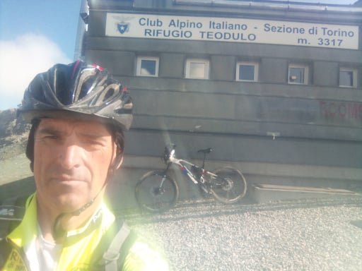
Vicino al passo Costalunga
Author
Place
Italy - Trentino-Alto Adige/Südtirol, TN
Km
28,10 km
Elapsed time
02:18:07
Vertical meters
+791 mt (1175 - 1704)
Route difficulty
Landscapes
Last update
2025/10/26 18:38:13
Comments
Hotels
Description
Easy tour done by ebike nice woods and nice dirt roads, a bit more challenging a downhill section after Tamion. Start from Pozza di Fassa on the downhill bike path to Moena, where you start climbing sharply on wide dirt road. At a fork, a couple of kilometers from the Costalunga pass, turn right, still on a nice dirt road slightly uphill, quite long and pleasant in the woods. You come to the Tamion sign and follow a nice path to the village.
Now dirt downhill section a bit steep but not challenging, then with dirt road and short ascent you reach Vigo di Fassa and descend to Pozza on asphalt.
Local weather
Thu 00:00

14 °C
Thu 12:00

22 °C
Fri 00:00

17 °C
Fri 12:00
22 °C
Sat 00:00
16 °C
Sat 12:00
22 °C
Graph
Nearest Routes
2022/08/19
- Italy - Trentino-Alto Adige/Südtirol, TN 51,42 km
Km
+2 048 mt
Vertical meters
Route difficulty
Landscapes
41,88 km
Km
+2 190 mt
Vertical meters
Route difficulty
Landscapes
28,86 km
Km
+1 700 mt
Vertical meters
Route difficulty
Landscapes
20,80 km
Km
+1 120 mt
Vertical meters
Route difficulty
Landscapes
2023/02/26
- Italy - Trentino-Alto Adige/Südtirol, TN 24,50 km
Km
+1 500 mt
Vertical meters
Route difficulty
Landscapes
2023/07/28
- Italy - Trentino-Alto Adige/Südtirol, TN 35,59 km
Km
+1 551 mt
Vertical meters
Route difficulty
Landscapes
2023/07/27
- Italy - Trentino-Alto Adige/Südtirol, TN 47,84 km
Km
+2 292 mt
Vertical meters
Route difficulty
Landscapes
2023/07/25
- Italy - Trentino-Alto Adige/Südtirol, TN 64,76 km
Km
+2 100 mt
Vertical meters
Route difficulty
Landscapes
55,87 km
Km
+1 637 mt
Vertical meters
Route difficulty
Landscapes
2024/07/12
- Italy - Trentino-Alto Adige/Südtirol, TN 31,65 km
Km
+1 250 mt
Vertical meters
Route difficulty
Landscapes