
 Italiano
 Deutsch
Creste di Grione, Malgalonga, Sovere

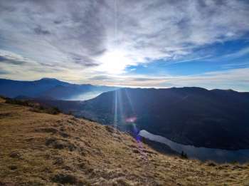
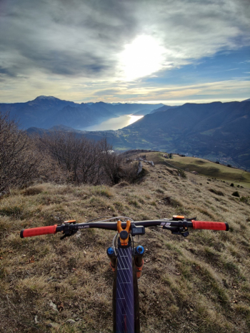
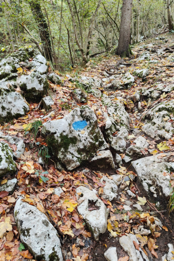
Spectacular route that will take you to the ridges of Grione and then from the supertechnical descent to Sovere. The departure can be done from Fanovo or if you want to reduce the pedaling after the last descent I suggest to start further east in the locality Ronco The proposed track has been done in Emtb, often trying to avoid the asphalt on short parallel paths not always easy to ride in Mtb, which you can safely avoid by staying on the main road (which remains very enjoyable anyway). You climb on asphalt on roads with little to no traffic, with comfortable gradients and lake views, to the Ranzanico fork. After a short push section, about 80 meters pedalable by emtb and the road becomes a pedalable dirt carrale until about 100 meters below the Sparavera, last meters all push. From the summit of Sparavera you can simultaneously admire the panorama of Lake Endine and Lake Iseo. This part can be made less challenging by following part of this trail.
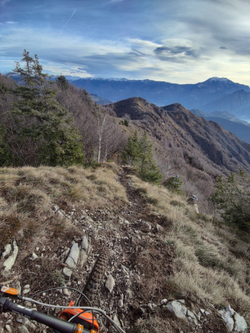
Continue to the Grione ridge trail; an up and down, not particularly displaced with a few short technical passages that still deserve some attention.
After a nice steep slope (S3) you arrive at the Cross. Notes: from the Cross there would be a trail that descends very vertical directly south but I was told it has a very extreme and not very rideable middle section.
From the Cross if you want to lengthen the ride by 180m continue on the ridges otherwise turn back about 50m and then go back down you go north on an easy S1 descent through the woods; after an ascent on carrale you pass a big meadow and enter the 13 valleys trail; a beautiful eat and drink in the woods (great in Emtb, challenging in Mtb) that comes out just below the Malgalonga hut (often open).
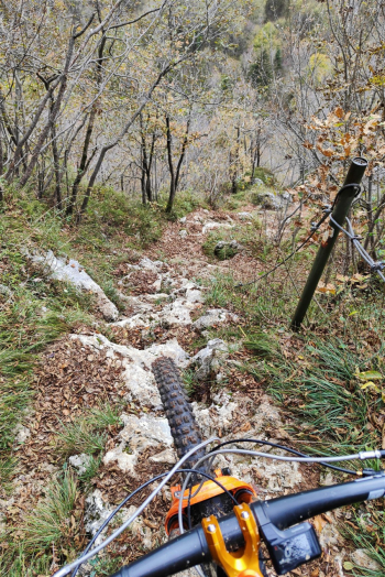
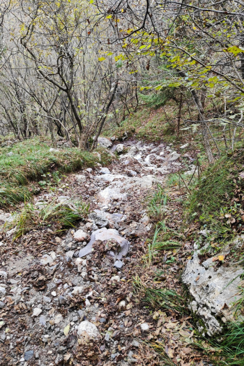
If it's your first time doing the descent to sovere I recommend following this trail it lengthens about 200mt but is in my opinion more beautiful. Following this track instead from Malgalonga we immediately connect to the descent to Sovere from a S1/S2 descent. To then find ourselves on a very challenging S3+ descent with several S4 passages, all on rock but with excellent grip (done after rainy days). We pass into the S5 equipped couloir with steps too steep to be done in the saddle. Then down the Teuda, another technical S3/S4 trail but a little less rocky.
Trail style: AM
Personal rating: views 9/10; descents 9/10
MTB: Yes
EMTB: Yes
Duration about 4.5h (by emtb)
Thrust: about 100 meters push
Difficulty ascent: very challenging in places
Difficulty descent: S3+/S4
Exposed: no
Drainage: the rock dries well and has good grip, even in the final sections where the trail may be past the stream.


