
 Italiano
 Deutsch
Sovere, Pizzetto, Gandino, Parafulmine, Malgalunga
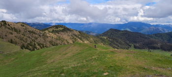
Really nice allmountain tour, not to be missed. Lots of trails, lots of greenery, wide open spaces and views. Three anthology descents. Suitable for fine and demanding palates, good training and equally good downhill riding skills required. In wet weather be very careful.
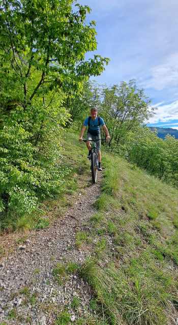
We start in Sovere (BG), riding along small roads and long trails through the woods with glimpses of Lake Endine we reach the third-to-last hairpin bend of the paved road that climbs to the Ranzanico fork. At the fork, to the right we push the bike for a few minutes, then to the left on a nice pedalable path we enter a road that immediately becomes cemented and then unpaved in the direction of Monticelli. We do not reach the latter location, but at a fork we turn left toward Madonna del Pizzo. Shortly after, at a picnic area we take an almost completely rideable path to the right to a small house near the ridge of Mount Pizzetto. Widely bypassing the shed from the north side by trail trace we pick up the ridge just below.
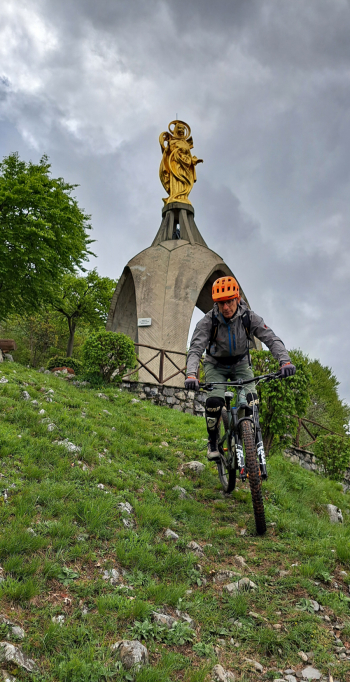
Here begins the first, challenging, exciting descent passing the imposing Madonna del Pizzo (be careful if wet). Following the trail we arrive satisfied at Gandino.
The second climb is all asphalt up Monte Farno, then cemented, then dirt road along the high road below Pizzo Formico that ends at Baita Cornei. Now the last stretch awaits us, always pedaled up to the excellent Parafulmine refuge where we can refresh ourselves.

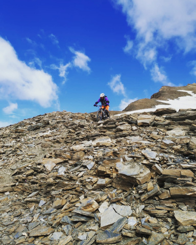
Reaching the highest bump near the refuge, the second technical descent with challenging passages begins, ending at the beautiful plain of Campo d'Avena (alternatively we can go around Mount Fogarolo on a nice path.
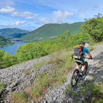
Having crossed the plain, keeping to the left we take the forest road that with some uphill strapetti leads to Malga Lunga, at Monte di Sovere.

Here begins the third and last classic, extraordinary, monstrously stupendous, unmissable, supertechnical descent to Sovere (rock a gogò) and then to the starting point.


