
 Italiano
 Deutsch
Pian delle Avene - Discesa su Sovere

Trail Malgalonga supertechnical descent on Sovere with the Teuda. This trail is actually a continuation of this Colombina trail, but I preferred to split the tour then into 2 trails for convenience of about 1100 meters of elevation gain each. As a single tour you can also start from Sovere, climb back up to join the 13 valleys trail (see this trail).
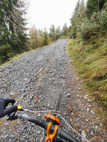
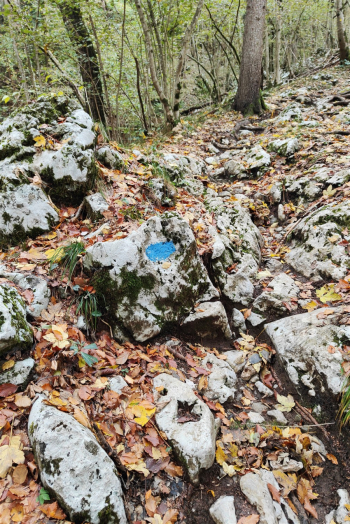
Following this trail instead, you climb up a dirt and cemented carrale that is quite challenging in places. At an elevation of 1,200 meters you veer left to a nice though not supercorrectable traverse with a few S2+ passages and several sections that force you to climb down from the saddle to pass the obstacle; toward the end of this traverse the trail climbs back up and connects to the Avene plane.
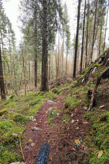
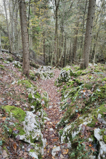
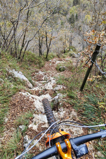
We climb a very steep ascent to the Monte alto hut. Then we launch into a technical S2/S3 descent that has some magic in fabulous surroundings! We veer right on a S3/S3+ descent with numerous very challenging passages that bring us back to the descent coming from Malgalonga. We continue always on S3+ with several S4 passages, all on rock but with very good grip (done after rainy days). In the track we also pass by a S5 section with steps too steep to be done in the saddle, the very grippy rock however helps us to descend with the bike in hand and the front clamped.
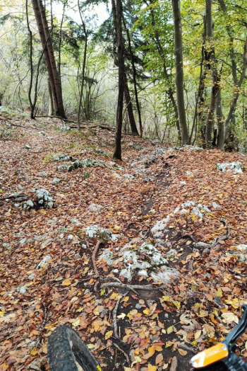
Following this the trail we avoid going through the S5 equipped channel with steps too steep to be done in the saddle. We continue on the trail that seems to soften but quickly welcomes us back with a nice rocky vertical to do with nice tight butts and then up what appears to be a river bed. Alternatively you can follow this trail down the equipped gully and then down the Teuda.
Trail style: AM
Personal rating: views 7/10; descents 8/10
MTB: yes
EMTB: yes
Duration about 4h (by emtb)
Portage: push sections
Difficulty ascent: very challenging in places
Difficulty descent: S3+/S4
Exposed: a few sections
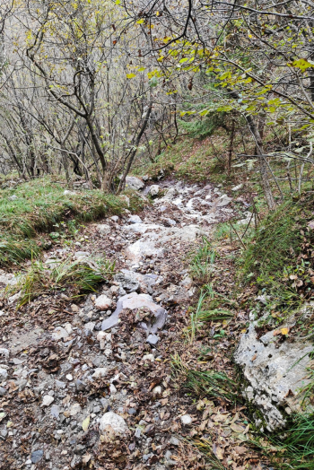
Drainage: the rock dries well and has good grip, even in the final sections where the trail may be past the stream.


