Italiano
 Deutsch
Cima Sophia
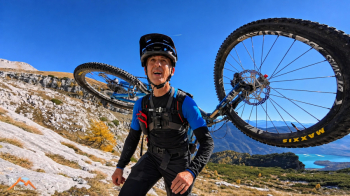
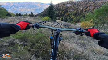
Cima Sophia—an authentic mountain biking adventure, the kind that makes no concessions—starts from the Andalo–Pradel parking lot, just outside the town. The route initially climbs along a forest road, first paved and then unpaved, up to the Montanara Mountain Hut. After about 200 meters, take Trail 352B to the right: the last 350 meters are rideable, then you’ll have to carry your bike on your shoulders. At the fork, take trail 352A to the left, which climbs steeply but easily, offering increasingly spectacular views all the way to Palon de Tovre.
This is where the real battle begins: a dense forest of mountain pines! One and a half kilometers, with about 160 meters of elevation gain and 50 meters of elevation loss, on terrible terrain, amid slippery steps and impenetrable vegetation. You can’t carry the bike on your shoulder, and often you can’t even push it: you have to get past the obstacles and then retrieve it, meter by meter—more nerve-wracking than dangerous, where the effort is enormous and progress is extremely slow.
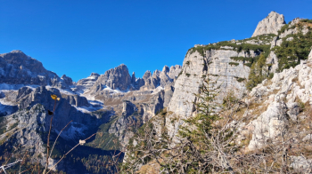
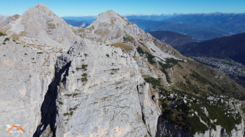
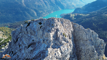
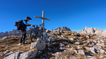
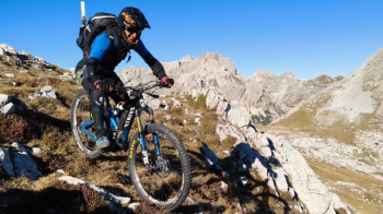
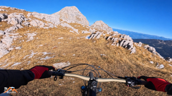
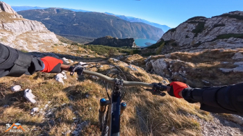
Finally, the mountain pines give way to a picturesque glaciokarst plateau, amid fractured rocks and a few easy sections where you can use your hands for support. Upon reaching the junction with trail 344B, coming from Passo dei Lastri, you catch a glimpse of the Croce della Cima Sophia. The steep grassy slope, fortunately free of ice, allows you to reach the summit without difficulty. Cima Sophia rises about twenty meters higher than Croz and offers the same magnificent panorama, overlooking the same impressive precipice, and provides a fantastic descent—entirely rideable—along its grassy ridge, a wonderful discovery.
You retrace the ascent trail downhill—though not entirely rideable—until you reach the mountain pines again. After a short stretch, turn left onto the 344B: the vegetation is still dense and the slopes steep, but nothing like the ordeal of the climb! Finally, the forest, where the real fun begins. A few nice freeride detours across the wide meadows—watching out for hidden rocks—then back down on trail 352, through thrilling sections, until you reach the car.
A spectacular ride, with no half-measures: hard work, portaging, breathtaking views, and memorable descents.
A route for enthusiasts of the most authentic mountain biking, to be tackled with excellent fitness, experience, and full awareness of the challenges.
The satisfaction? Immense—just like the effort!