

 Italiano
 Deutsch
2025/09/13 11:55:49
Il giro più ALL-MOUNTAIN di tutta la Paganella
Author

Place
Italy - Trentino-Alto Adige/Südtirol, TN
Km
71,77 km
Elapsed time
06:21:14
Vertical meters
+640 mt (794 - 2082)
Route difficulty
Landscapes
Last update
2025/09/13 13:33:20
Comments
Description
The most All-Mountain ride of the Dolomiti Paganella Bike!
Positive elevation gain pedaled: 640m
Total positive elevation gain: 4110m
Negative elevation gain: 4110m
.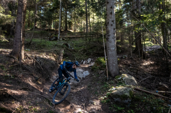 .
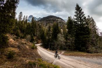
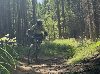
A complete experience combining the best nature trails in the area, breathtaking views and the right balance of lift climbs and pedaled sections. With 640m of positive elevation gain on pedals and over 4,000m of descent, this tour makes the most of the lifts without sacrificing the taste for hard work, giving you a varied, fun and never dull ride.
 .
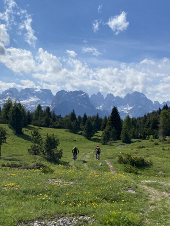
An adventure designed for those who want to experience Paganella in its most authentic version, with long, natural descents, scenic connections and the feeling of a real trip at altitude. See you on the trails!
Local weather
Tue 00:00

10 °C
Tue 12:00

13 °C
Wed 00:00

10 °C
Wed 12:00
14 °C
Thu 00:00

9 °C
Thu 12:00

9 °C

Graph
Nearest Routes

37,35 km
Km
+1 640 mt
Vertical meters
Route difficulty
Landscapes

12,39 km
Km
+1 350 mt
Vertical meters
Route difficulty
Landscapes
21,01 km
Km
+1 600 mt
Vertical meters
Route difficulty
Landscapes
2024/07/07
- Italy - Trentino-Alto Adige/Südtirol, TN 
39,40 km
Km
+189 mt
Vertical meters
Route difficulty
Landscapes
2025/06/26
- Italy - Trentino-Alto Adige/Südtirol, TN 11,62 km
Km
+229 mt
Vertical meters
Route difficulty
Landscapes

78,77 km
Km
+6 258 mt
Vertical meters
Route difficulty
Landscapes
2026/05/03
- Italy - Trentino-Alto Adige/Südtirol, TN 27,11 km
Km
+1 447 mt
Vertical meters
Route difficulty
Landscapes

32,43 km
Km
+1 350 mt
Vertical meters
Route difficulty
Landscapes
2025/09/15
- Italy - Trentino-Alto Adige/Südtirol, TN 
34,90 km
Km
+1 455 mt
Vertical meters
Route difficulty
Landscapes

38,08 km
Km
+1 272 mt
Vertical meters
Route difficulty
Landscapes