Italiano
 Deutsch
Su e giù per Belalp
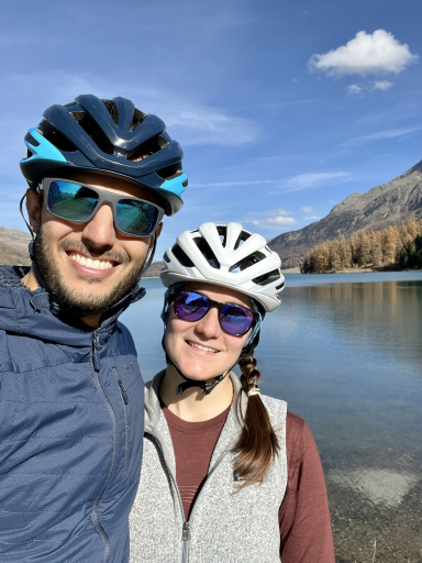
A really fun day out on the trails at Belalp, a little gem just above Brig. You park (for a fee) in Blatten, at the valley station of the cable car, which is included in the Magic Pass (otherwise, I think the day pass with bike transport costs 45 CHF). Once you arrive in Belalp, you ride down a few meters on a road toward the Chiematte chairlift station, where the first—and incredibly fun—trail of the day begins: the Haxutrail. It’s about a 700-meter descent that takes you back to the cable car’s valley station. The first part is purely alpine and very easy:
Then it turns into a trail groomed for bikes but still very natural, with plenty of roots, nice turns, and, in the final stretch, a super fun section with banked turns through the woods—a blast. It was so much fun that I forgot to stop and take any photos of this second part. After taking the cable car back up, I decided to ride the same descent again—it was even more fun than the first time.
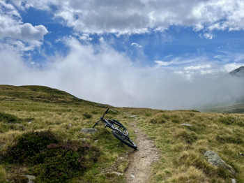
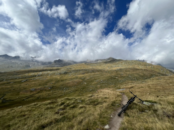
Back in Belalp for the third time, I decided it was time to put in a bit of effort and reach the upper station of the Spannhorn chairlift (which isn’t in operation during the summer) at an elevation of 2,650 meters. It’s about a 600-meter climb, most of which you have to push your bike up the extremely steep road that runs alongside the chairlift; with an e-bike, I think you could pedal the whole way. Once at the top station, if you wanted to, you could continue (still pushing) all the way to the Spannhorn at 3,021 meters (maybe next time). The effort of the push section is immediately rewarded by the trail that awaits us on the way back to Belalp. A pure alpine single track—I’d say all S2 level—and thrilling:
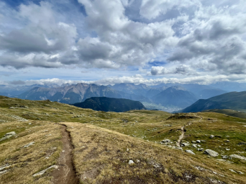
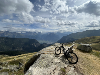
A quick photo stop at Tyndall Rock is a must:
Once back at the Belalp mountain station, this time take the famous Nesselloop trail: it’s about 9 km of single track that will take you back down to the valley, just above Birgisch.
The trail begins with a beautiful series of ups and downs:
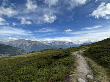
with a view of Belalp behind us and the Sparrhorn in the distance:
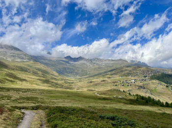
After the first 5 km—which are very easy, with a few ups and downs and consistently beautiful surrounding scenery—the trail heads into the woods. You’ll reach a scenic overlook with Brig right below you, the Simplon Road in the distance, and Monte Leone shrouded in clouds:
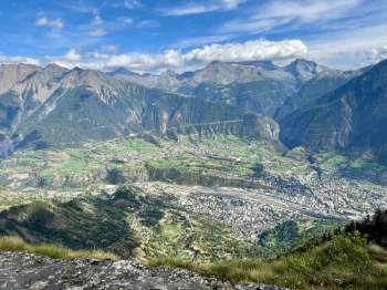
From there on, the trail starts to get rockier, quite steep in some spots, but never too difficult. You can ride the entire way, but at some point your hands will start begging for mercy. You’ll then emerge onto a small road that you follow downhill through a few hairpin turns before taking a trail again that leads back to Geimen (with a lovely fountain). From there, it’s about a 300-meter climb on the paved road to return to the starting point.
In the end, it was a 1,000-meter climb (about half of which was pushing the bike) and a 3,250-meter descent.