

 Italiano
 Deutsch
Passo del Sole con nuovo sentiero Campra - Nara

The Passo del Sole loop is a true classic in the Blenio Valley. This route includes a long traverse from Campra to Nara along a newly built bike trail. Leave your car at the free parking lot at the Acquarossa Hospital (here’s the exact location on Google Maps) and take the PostBus to the Lucomagno Pass. The bus stop is located behind the hospital, directly across from the movie theater, on the Val di Blenio cantonal road. From the Lucomagno Pass, you ride alongside the reservoir before beginning the steep climb toward the Passo dell’Uomo.
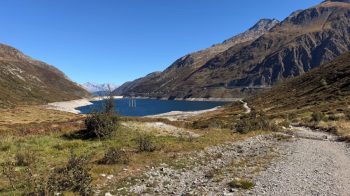
It was cleared of rocks a few years ago and is rideable all the way, except perhaps for a few slightly rough sections. At Passo dell’Uomo, there’s a spring to the right of the road—very fresh and safe (I always drink from it). From here, continue along the road, which has recently been repaved and is as smooth as a billiard table.
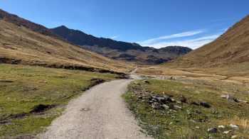
You descend toward Lake Ritom, then turn left and begin the (steep) climb toward the Passo del Sole. This is interspersed with a short descent on a trail, before the final steep stretch, also on a trail. Although initially made difficult by the rain, you can ride the whole way with good leg strength. It’s easy on an e-bike.
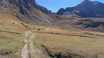
Take a break at the Passo del Sole before starting the beautiful descent.
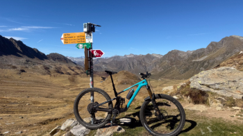
The bike descent begins a bit higher up than the pass, first across meadows and then along a trail that’s never steep and has a moderate difficulty rating of S2.
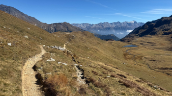
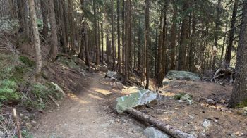
You then enter the woods, where the terrain becomes rockier, but the trail has been prepared for bikes and is a lot of fun. A stream crossing, a short steep section, and then a gentle climb toward these houses in a bucolic setting.
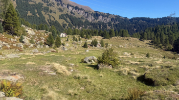
The trail that starts right after has an S3 section and another where it’s best to walk your bike to avoid hitting a rock with the handlebars and taking a tumble. This brings you to a plateau with some houses; cross the road and head back down onto the old Roman road, now a very rocky trail. Another flat stretch, and you’re in Campra, the Nordic center, where the new trail begins.
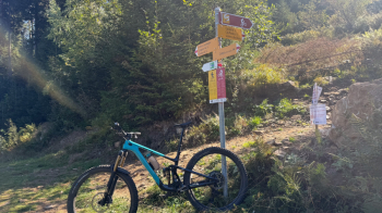
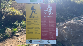
The fact that it goes uphill right away should have given me an idea of what was in store: in fact, this trail—part of Route 65 “Gottardo Bike”—climbs 500 meters in elevation, passing along small roads and dirt paths, all the way to the Gorda hut. It has some steep sections, but that’s nothing compared to what’s coming up.
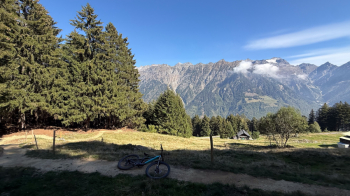
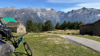
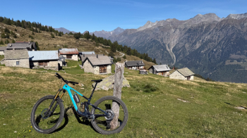
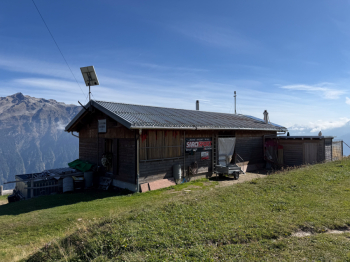
In fact, shortly after, an endless traverse begins that takes us well above Nara, practically to the arrival point of the single-seat chairlift below Bassa di Nara, at an elevation of nearly 2,000 meters. The problem is that there are some very steep sections, which are quite challenging on a mountain bike but should be easy on an e-bike. The other problem is the at least 30 cattle gates, which, of course, aren’t there at this time of year. Some have been placed at the exit of uphill turns. They’re very tough slalom poles (since they’re very short and therefore don’t bend much) that scratch the bike and the fork. Be careful, or put a protective film on the head tube.
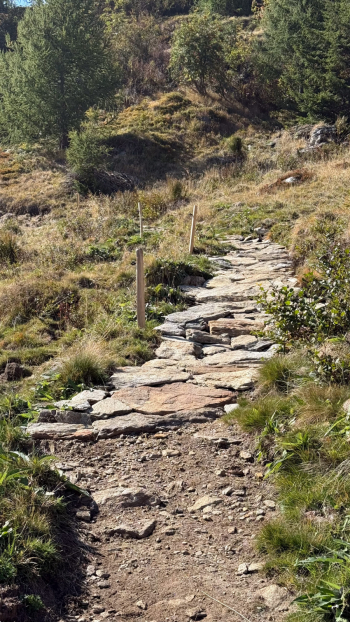
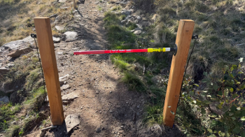
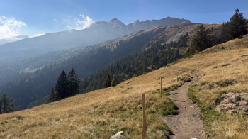
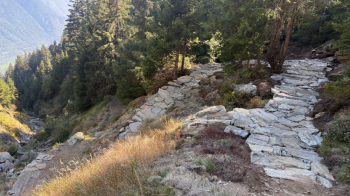
It’s all ups and downs; at one point, it seems as though they forgot to fix the trail.
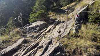
Then the climb continues, showing no mercy on your legs.
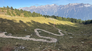
Finally, we arrive at Nara...
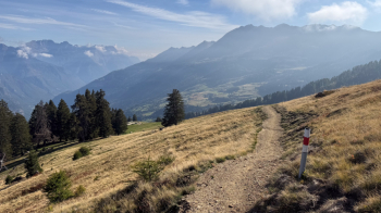
From here, we take the Blackwood Line, a trail with jumps (which can be avoided) and berms that takes us to the Nara chairlift. From there, we follow the Cancorì Bike 383, an S2-rated trail that first takes us to Leontica and, after a stretch on asphalt, along other beautiful trails to the Acquarossa hospital, where we return to the parking lot.
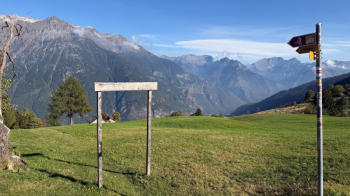
The Campra-Nara climb is tough; if you don’t have an e-bike, you’ll need to be in great shape to ride it. I’ve pointed out the presence of those annoying gates; I hope they remove them and only use them when there are actually cows around, because right now the trail is a real pain because of all those gates. If you ride in the opposite direction, it’s even worse because you have to brake and be careful not to scratch your bike.


