Italiano
 Deutsch
Cicloalpinismo Faeto, Piz Tri, Sentiero 4 Luglio, Passo Salina, Val Brandet
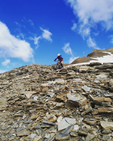
A very beautiful mountain biking tour in a picture-perfect setting (especially during the rhododendron blooming season) featuring an ascent to Piz Tri—an alternative to the classic route—up to an elevation of 2,060, which is very enjoyable. From Faeto, after a steep paved section, you follow an excellent trail through the woods with several rideable stretches. From Piz Tri, the first section of the “4 Luglio” trail is very scenic and rideable, with one exposed section that’s not rideable—requiring you to carry your bike up a somewhat steep slope—until you reach the Salina Pass, though this section is relatively short. From the pass, there’s a fun descent on a technical and elegant trail (with one exposed section) down to Malga Campadei, followed by a steep forest road for a short stretch and then more trail to the stream. Unfortunately, Val Brandet consists entirely of forest roads all the way to Sant’Antonio, followed by a paved road back to the car. The descent is challenging on an S3 trail with a few S4 sections.
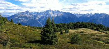
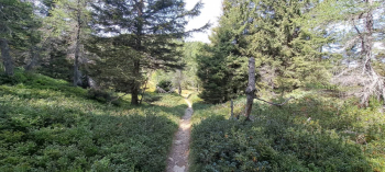
Start from Edolo, near the sports center. Head up the scenic paved road, entirely through the woods, reaching the Faeto Pass at 1,200 meters. Continue toward Loritto for a few hundred meters until you spot a steep concrete road on the right, at 1,150 meters (signpost indicating “Piz Tri”); follow it uphill, passing by the Baite Brunò, at 1,500 meters.
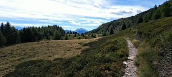
Shortly after, leave the small road and take a beautiful trail to the right, still through the enchanting woods, which is rideable in sections. You’ll reach the trail junction for Santicolo at 1,945 meters. Turn left and continue cycling for a good stretch along a traverse (postcard-perfect scenery and views of the Adamello range) until you reach the junction at 2,060 meters, where you’ll cross the classic military mule trail that ascends from Landò, Lezza. a. Follow it up to the saddle below the summit of Piz, at 2,270 meters. From there, either pushing your bike or carrying it on your shoulder, you’ll reach the rocky outcrop where the summit cross stands, at an elevation of 2,308 meters.
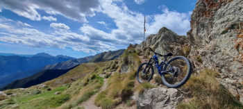
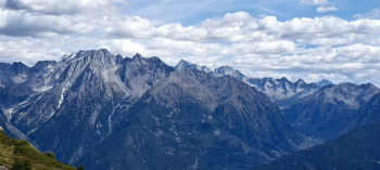
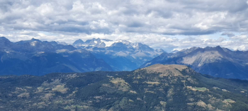
Admire the magnificent panorama with views of the Adamello, Bernina, and Disgrazia ranges. Prepare for the thirty-meter descent to the pass—which is anything but easy (CAUTION). Now, keeping to the right, take the “4 Luglio” trail toward Torsoleto; the first part is scenic and rideable, though narrow and very exposed in one section (CAUTION). Once past this section, the trail becomes more challenging and you’ll need to walk (more exposed sections, including a short stretch with a steel cable). The final stretch to the Salina Pass is uphill, and you’ll need to carry your bike.
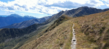
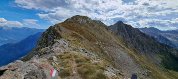
The pass, at 2,430 meters, is the highest point of the route. Now descend to the right along a narrow, technical trail—in places (through the grass) not very well-defined but marked with red-and-white trail markers—down to Malga Campadei at 1,820 meters (mostly S3 difficulty with a few S4 sections and one exposed stretch). Unfortunately, from the mountain hut, the route inevitably descends along the forest road to an elevation of 1,500 meters, where you must find a trail that descends to the right to the Brandet stream at 1,400 meters (difficulty similar to the previous trail). After crossing the stream, you’ll walk uphill briefly until you reach the Val Brandet dirt road a short distance above, at an elevation of 1,420 meters. Follow this road to reach the charming village of Sant’Antonio at 1,130 meters. Now, on paved road, you’ll first reach the town of Corteno Golgi and then the hamlet of Santicolo. Finally, a last stretch of bike and pedestrian path takes you to Edolo, back to the sports center, and then to your car.