Italiano
 Deutsch
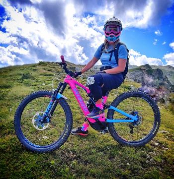
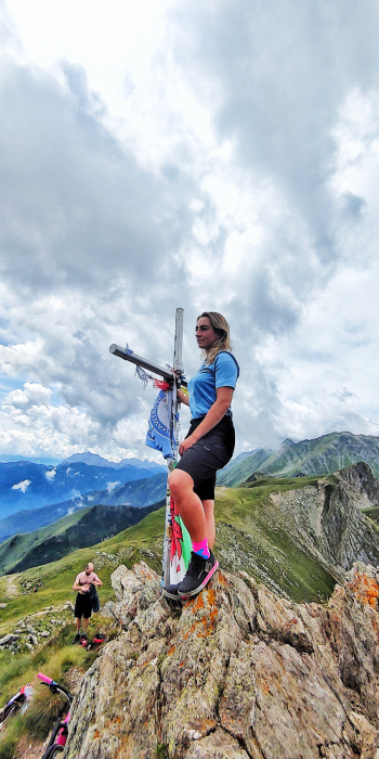
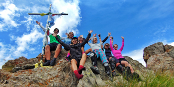
Piz Tri edizione selvaggia

We present a new descent from the summit of the beautiful Piz Tri in Valcamonica that will take you into pure movie undergrowth.
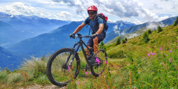
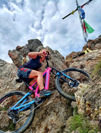
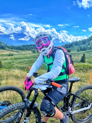
We leave the car in the free parking lot of the Edolo swimming pools and take the bike path. We go up towards Quadrobbio on a secondary road and arrive at Faeto comfortably. We continue on secondary road until we reach Passo del Faet where the versa salita, or rather the hardest part, begins. We will turn right towards Pra del Bis and on path then gippable we will reach Baite di Brunò. The next stop will be Fienili Vent which is really a magical place where you can admire the valley and quench your thirst at one of the many fountains on the trail. Up to Campello di Landò the pedaling remains quite smooth but then from above Malga Campello the final trail begins with some pushing and some pedaled sections. We will reach the top of Piz Tri (2,308 meters) with an impressive 360° view. Time comes for rest and the photo of the day. As soon as we are ready we set off for the descent, which in the first part will be on the ridge then on narrow but smooth trail full of boulder. At the fork we will take a left with direction Edolo and here dear ones we face the rhododendrons and blueberries section in pure liberty style with an exciting panorama and a soft flow that will caress your tires. Occasionally even a few firm rocks will make themselves felt but basically you let the bike flow smoothly. We return to the Brunò huts and here attention begins the second wild part to be enjoyed to the end all in undergrowth, with pine needles, unique scents and some short but vertical sections. We will then make some final cuts to Colombine then here we are back in Edolo.
RECOMMENDED ROUTE FOR MOUNTAIN BIKE and/or E-BIKE ALL MOUNTAIN.
NB: At the time of entry this ride is all doable without any particular problems. We disclaim any responsibility for any inconvenience due to lack of maintenance of the trails or deterioration of the same due to external and/or natural agents and a wrong assessment of the tour.